Eel River (Wabash River tributary)
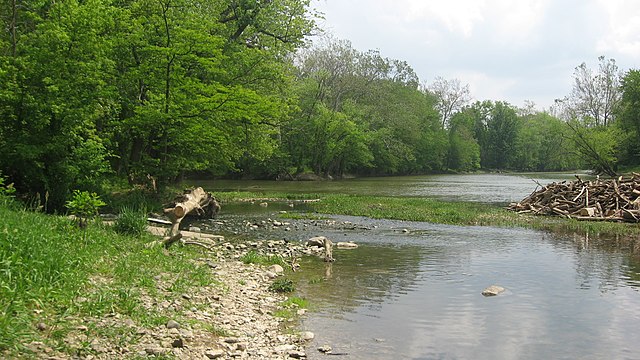
The Eel River is a 94-mile-long (151 km) tributary of the Wabash River in northern Indiana in the United States. Via the Wabash and Ohio rivers, its waters flow to the Mississippi River and ultimately the Gulf of Mexico. The Eel River rises southeast of Huntertown in Allen County and flows southwest through Allen, Whitley, Kosciusko, Wabash, Miami, and Cass counties to join the Wabash at Logansport. The river was called Kineepikwameekwa Siipiiwi - "river of the snake fish" by the Miami people, who inhabited the area at the time of European contact, the English rendered it as Ke-na-po-co-mo-co. It is the northern of the two rivers named Eel River within Indiana.
Collamer Dam
Stockdale Mill on the Northern Eel River at Roann, Indiana, in June 1998.
The Wabash River is a 503-mile-long (810 km) river that drains most of the state of Indiana, and a significant part of Illinois, in the United States. It flows from the headwaters in Ohio, near the Indiana border, then southwest across northern Indiana turning south near the Illinois border, where the southern portion forms the Indiana-Illinois border before flowing into the Ohio River.
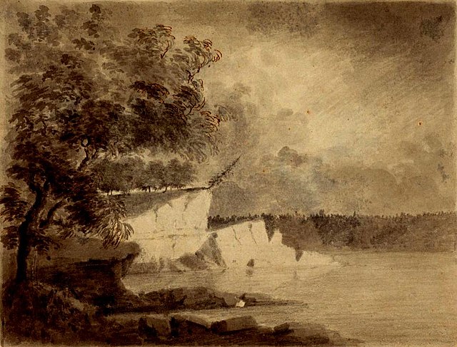
A scene along the Wabash River, sketched in 1778 by Lt Governor Henry Hamilton en route to recapture Vincennes, Indiana during the American Revolutionary War
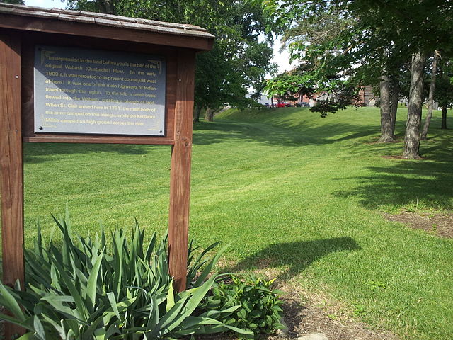
The former course of the Wabash River, running by the former site of the original Fort Recovery. The reproduction can be seen in the background, but it is not the original fort.
Forks of the Wabash at Huntington
U.S. Route 31 Business crossing of the Wabash River in Peru, Indiana in 2022


