Eielson Air Force Base is a United States Air Force (USAF) base located approximately 26 miles (42 km) southeast of Fairbanks, Alaska, and just southeast of Moose Creek, Alaska. It was established in 1943 as Mile 26 Satellite Field and redesignated Eielson Air Force Base on 13 January 1948. It has been a Superfund site since 1989. Eielson AFB was named in honor of polar pilot Carl Ben Eielson.
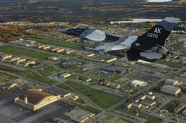
An F-16 Fighting Falcon from the 18th Aggressor Squadron flies over Eielson AFB during 2009. The base's largest hangar, known as the "Thunderdome," is visible in the bottom left of the image.
Mile 26 Satellite Field (now Eielson AFB), 1945
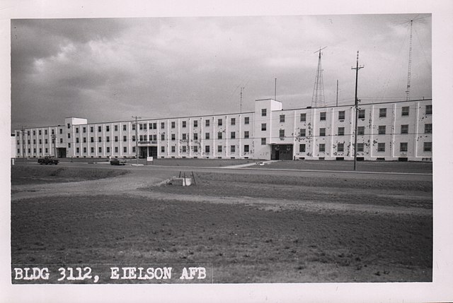
Ptarmigan Hall in 1962, later renamed to Amber Hall
The flight line and Thunderdome hangar building at Eielson
Moose Creek is a census-designated place (CDP) in Fairbanks North Star Borough in the U.S. state of Alaska. As of the 2010 census, the population of the CDP was 747, up from 542 in 2000. It is part of the Fairbanks, Alaska Metropolitan Statistical Area. Moose Creek is located south of Fairbanks, Alaska along the Richardson Highway. Moose Creek is bordered by Eielson Air Force Base to the south, the Tanana River to the west, and the Chena River Flood Control Project to the north.
Moose Creek General Store and First Student bus barn marks the "commercial center" of Moose Creek.


