In cartography, an equivalent, authalic, or equal-area projection is a map projection that preserves relative area measure between any and all map regions. Equivalent projections are widely used for thematic maps showing scenario distribution such as population, farmland distribution, forested areas, and so forth, because an equal-area map does not change apparent density of the phenomenon being mapped.
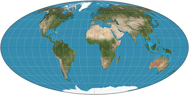
The equal-area Mollweide projection
Lambert azimuthal equal-area projection of the world centered on 0° N 0° E.
Albers projection of the world with standard parallels 20° N and 50° N.
Bottomley projection of the world with standard parallel at 30° N.
In cartography, a map projection is any of a broad set of transformations employed to represent the curved two-dimensional surface of a globe on a plane. In a map projection, coordinates, often expressed as latitude and longitude, of locations from the surface of the globe are transformed to coordinates on a plane.
Projection is a necessary step in creating a two-dimensional map and is one of the essential elements of cartography.
The equal-area Mollweide projection
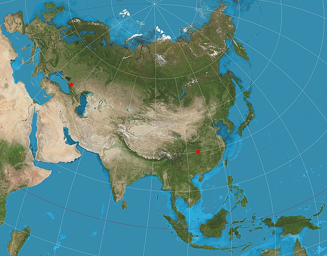
A two-point equidistant projection of Eurasia
Image: Tobler hyperelliptical projection SW
Image: Mollweide projection SW