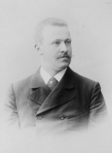
Erich Dagobert von Drygalski was a German geographer, geophysicist and polar scientist, born in Königsberg, East Prussia.
Pictured c. 1900–1920.
The Gauss enclosed in the ice. Photo taken from a balloon, the first aerial photography in Antarctica
The Kerguelen Islands, also known as the Desolation Islands, are a group of islands in the sub-Antarctic constituting one of the two exposed parts of the Kerguelen Plateau, a large igneous province mostly submerged in the southern Indian Ocean. They are among the most isolated places on Earth, located more than 3,300 kilometres from Madagascar. The islands, along with Adélie Land, the Crozet Islands, Amsterdam and Saint Paul islands, and France's Scattered Islands in the Indian Ocean, are part of the French Southern and Antarctic Lands and are administered as a separate district.
The islands are named after French explorer Yves-Joseph de Kerguelen-Trémarec.
Illustration from John Nunn's book about the three years he and his shipwrecked crew survived on the island in the 1820s.
French sailors officially reasserting possession of the Islands on 8 January 1893
Péninsule Rallier du Baty