Europa Point, is the southernmost point of Gibraltar. Although not the southernmost point of the Iberian Peninsula, Europa Point defines the boundary between the Straits of Gibraltar in the Atlantic Ocean, and the Alboran Sea within the Mediterranean. At the end of the Rock of Gibraltar, the area is flat and occupied by such features as a playing field and a few buildings. On a clear day, views of North Africa can be seen across the Strait of Gibraltar including Ceuta and the Rif Mountains of Morocco; as well as the Bay of Gibraltar and the Spanish towns along its shores. It is reached from the old town by Europa Road.
Europa Point as seen from the Strait of Gibraltar.
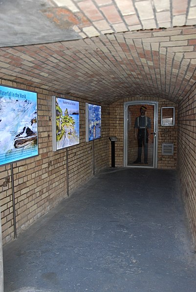
Europa Sunken Magazine today
Europa Point Lighthouse
View of the Southern Face of the Mosque.
The Strait of Gibraltar is a narrow strait that connects the Atlantic Ocean to the Mediterranean Sea and separates Europe from Africa.
The two continents are separated by 13 kilometres of ocean at the Strait's narrowest point between Punta de Tarifa in Spain and Point Cires in Morocco. Ferries cross between the two continents every day in as little as 35 minutes. The Strait's depth ranges between 300 and 900 metres.
The Strait of Gibraltar as seen from space. The Iberian Peninsula is on the left and North Africa is on the right.
Europe (left) and Africa (right)
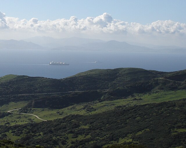
A view across the Strait of Gibraltar taken from the hills above Tarifa, Spain
3-D rendering, looking eastwards towards the Mediterranean


