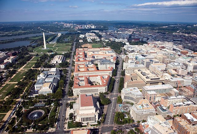
Federal Triangle is a triangular area in Washington, D.C. formed by 15th Street NW, Constitution Avenue NW, Pennsylvania Avenue NW, and E Street NW. Federal Triangle is occupied by 10 large city and federal office buildings, all of which are part of the Pennsylvania Avenue National Historic Site. Seven of the buildings in Federal Triangle were built by the U.S. federal government in the early and mid-1930s as part of a coordinated construction plan that has been called "one of the greatest building projects ever undertaken" and all seven buildings are now designated as architecturally historic.
Aerial view of Federal Triangle (center), the National Mall (on left), and Downtown Washington, D.C. (on right) in September 2006
A diagram of Federal Triangle as of 2009, showing all 10 key buildings in the complex
A 1923 photograph of Federal Triangle, including Pennsylvania Avenue (on left), the District Building (in foreground), the Post Office building, and Center Market (in background)
Center Market in the 1920s
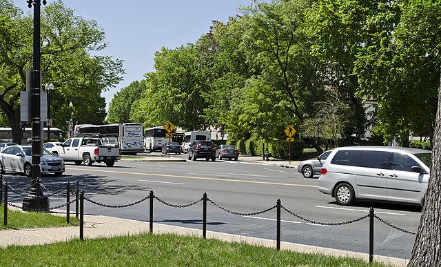
Constitution Avenue is a major east–west street in the northwest and northeast quadrants of the city of Washington, D.C., in the United States. It was originally known as B Street, and its western section was greatly lengthened and widened between 1925 and 1933. It received its current name on February 26, 1931, though it was almost named Jefferson Avenue in honor of Thomas Jefferson.
Signage on the 1900 block of Constitution Avenue NW, Washington, D.C.
Junction of Constitution and Virginia Avenues NW, the western terminus of B Street between 1873 and roughly 1897
The width of Constitution Avenue varied along its length between 1926 and 1933, as shown by the shift in sidewalks at its junction with Henry Bacon Drive, NW.
The original western terminus of Constitution Avenue NW on the shores of the Potomac River was severed in the mid-1950s.


