First Chinatown is a retronym for a former neighbourhood in Toronto, an area that once served as the city's Chinatown. The city's original Chinatown existed from the 1890s to the 1970s, along York Street and Elizabeth Street between Queen and Dundas Streets within St. John's Ward. However, more than two thirds of it was expropriated and razed starting in the late 1950s to build the new Toronto City Hall and its civic square, Nathan Phillips Square.
First Chinatown, Toronto
The Ward, c. 1910. Toronto's first Chinatown was situated in The Ward, an area that attracted new immigrants to the city.
Chinatown printers on Louisa Street. Now part of Toronto's City Hall.
View of Chinatown south of Dundas Street, on Elizabeth Street, c. 1934.
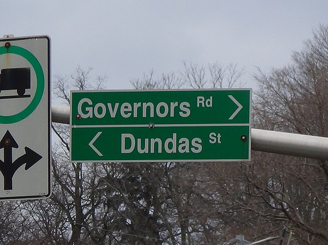
Dundas Street is a major historic arterial road in Ontario, Canada. The road connects the city of Toronto with its western suburbs and several cities in southwestern Ontario. Three provincial highways—2, 5, and 99—followed long sections of its course, although these highway segments have since been downloaded to the municipalities they passed through. Originally intended as a military route to connect the shipping port of York to the envisioned future capital of London, Ontario, the street today connects Toronto landmarks such as Yonge–Dundas Square and the city's principal Chinatown to rural villages and the regional centres of Hamilton and London.
Looking north at the corner of Yonge and Dundas, near Yonge-Dundas Square
Highway 427 northbound approaching interchange with Dundas Street, with Cloverdale Mall in the right of the background
Dundas Street in Mississauga
Dundas Street reverts to its historic alternate name in the street's namesake community; Dundas, Hamilton.