First ascent of the Matterhorn
The first ascent of the Matterhorn was a mountaineering expedition made by Edward Whymper, Lord Francis Douglas, Charles Hudson, Douglas Hadow, Michel Croz, and two Zermatt guides, Peter Taugwalder and his son of the same name, on 14 July 1865. Douglas, Hudson, Hadow and Croz were killed on the descent when Hadow slipped and pulled the other three with him down the north face. Whymper and the Taugwalder guides, who survived, were later accused of having cut the rope below to ensure that they were not dragged down with the others, but the subsequent inquiry found no evidence of this and they were acquitted.
Plaque in Zermatt, commemorating the first ascent by Edward Whymper: On 14 July 1865, he set forth from this hotel with his companions and guides, and completed the first successful ascent of the Matterhorn.
The south face. The first attempts took place on the Lion ridge (left)
The east face and Hörnli ridge on the right
The Matterhorn from Zermatt
The Matterhorn is a mountain of the Alps, straddling the main watershed and border between Italy and Switzerland. It is a large, near-symmetric pyramidal peak in the extended Monte Rosa area of the Pennine Alps, whose summit is 4,478 metres (14,692 ft) above sea level, making it one of the highest summits in the Alps and Europe. The four steep faces, rising above the surrounding glaciers, face the four compass points and are split by the Hörnli, Furggen, Leone/Lion, and Zmutt ridges. The mountain overlooks the Swiss town of Zermatt, in the canton of Valais, to the northeast; and the Italian town of Breuil-Cervinia in the Aosta Valley to the south. Just east of the Matterhorn is Theodul Pass, the main passage between the two valleys on its north and south sides, which has been a trade route since the Roman Era.
East and north faces of the Matterhorn
View on the south and east faces and the area of the Theodul Pass between Italy (left) and Switzerland (right)
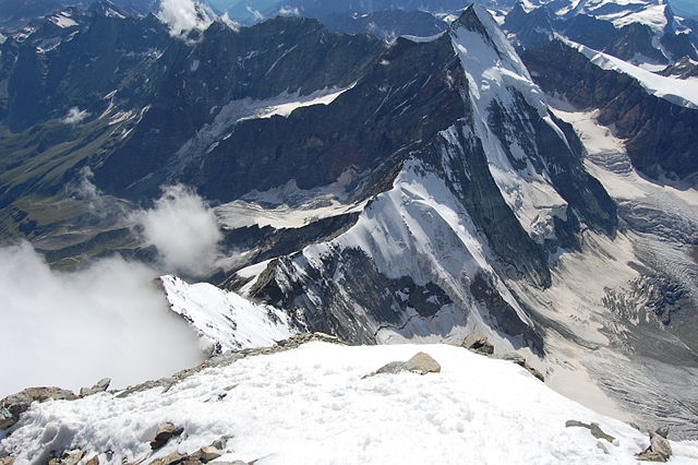
View from the summit towards Monte Rosa with the valleys of Mattertal (left) and Valtournenche (right)
View from the summit towards the west and the nearest other 4,000-metre peak: the Dent d'Hérens


