Franklin D. Roosevelt Lake
Videos
Page
Franklin D. Roosevelt Lake is the reservoir created in 1941 by the impoundment of the Columbia River by the Grand Coulee Dam in Washington state. It is named for Franklin D. Roosevelt, who was president during the construction of the dam. Covering 125 square miles, it stretches about 150 miles (240 km) from the Canada–US border to Grand Coulee Dam, with over 600 miles (970 km) of shoreline; by surface area it is the largest lake and reservoir in Washington. It is the home of the Lake Roosevelt National Recreation Area.
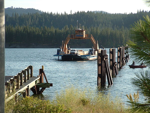
Gifford Ferry crossing Lake Roosevelt near Inchelium
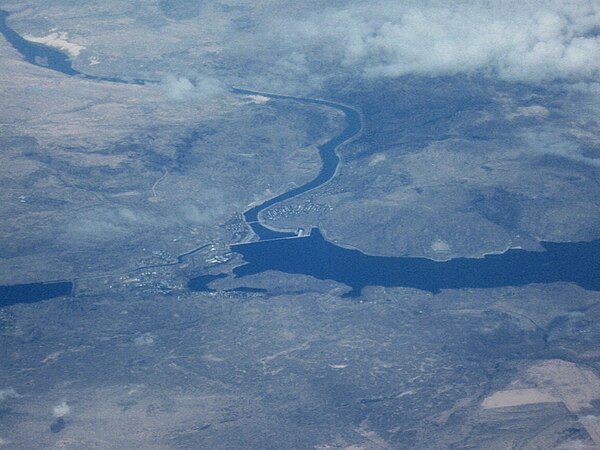
Franklin Delano Roosevelt Lake looking downstream toward Grand Coulee Dam
Columbia River
Videos
Page
The Columbia River is the largest river in the Pacific Northwest region of North America. The river forms in the Rocky Mountains of British Columbia, Canada. It flows northwest and then south into the U.S. state of Washington, then turns west to form most of the border between Washington and the state of Oregon before emptying into the Pacific Ocean. The river is 1,243 miles long, and its largest tributary is the Snake River. Its drainage basin is roughly the size of France and extends into seven states of the United States and one Canadian province. The fourth-largest river in the United States by volume, the Columbia has the greatest flow of any river entering the Pacific outside of Asia, and the 36th greatest discharge of any river in the world.

Columbia River from Rowena Crest with Interstate 84 on the right
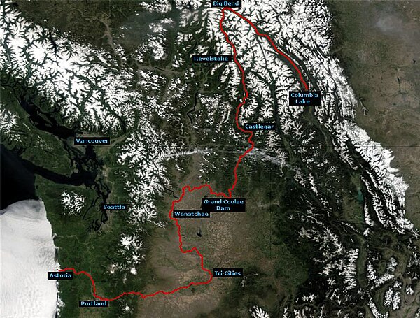
Course of the Columbia River

The Columbia River Gorge facing east toward Beacon Rock
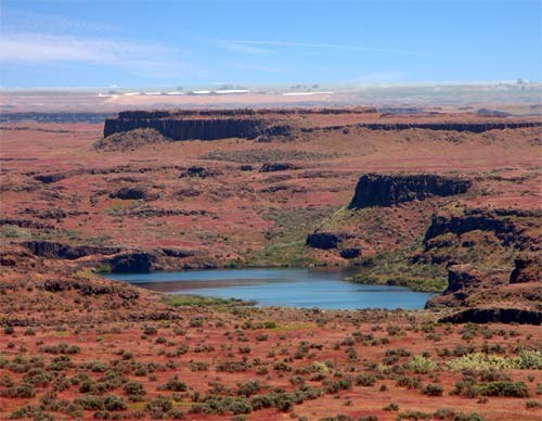
Drumheller Channels, part of the Channeled Scablands formed by the Missoula Floods