Fulda Gap
Videos
Page
The Fulda Gap, an area between the Hesse-Thuringian border and Frankfurt am Main, contains two corridors of lowlands through which tanks might have driven in a surprise attack by the Soviets and their Warsaw Pact allies to gain crossing(s) of the Rhine River. Named for the town of Fulda, the Fulda Gap became seen as strategically important during the Cold War of 1947–1991. The Fulda Gap roughly corresponds to the route along which Napoleon chose to withdraw his armies after defeat at the Battle of Leipzig. Napoleon succeeded in defeating a Bavarian-Austrian army under Wrede in the Battle of Hanau not far from Frankfurt; from there he escaped back to France.

Theoretical attack-routes through the Fulda Gap; the southern one through Fulda, the northern one through Alsfeld. The Vogelsberg Mountains rise between the two routes.
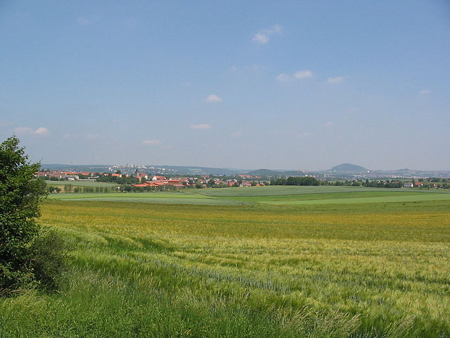
Terrain near the central German town of Fulda.
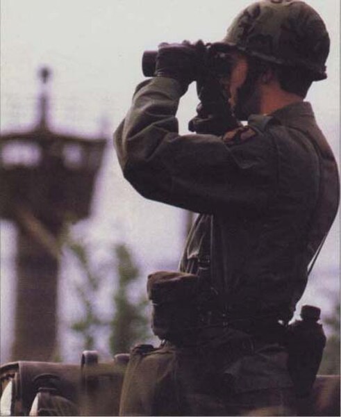
Soldier of the U.S. 11th Armored Cavalry Regiment on duty in the Fulda Gap during the Cold War.
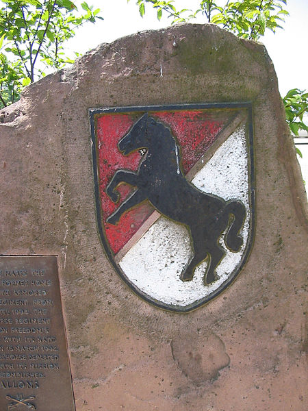
11th ACR memorial at the former Downs Barracks, Fulda, Germany.
Fulda
Videos
Page
Fulda is a city in Hesse, Germany; it is located on the river Fulda and is the administrative seat of the Fulda district (Kreis). In 1990, the city hosted the 30th Hessentag state festival.
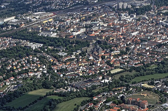
Aerial view of the city center
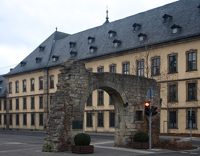
The army gate, built around 1150, on the city side of the city palace, from which you walked past the abbot's castle out of the city to get to the Via Regia

St Boniface baptizing and undergoing martyrdom – from the Sacramentary of Fulda
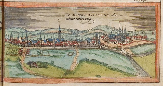
Fulda in the 16th century