Gannett Peak is the highest mountain peak in the U.S. state of Wyoming at 13,810 feet (4,210 m). It lies in the Wind River Range within the Bridger Wilderness of the Bridger-Teton National Forest. Straddling the Continental Divide along the boundary between Fremont and Sublette counties, it has the second greatest topographic prominence in the state (7076') after Cloud Peak (7077'), and is the highest ground for 290.36 miles in any direction.
West face of Gannett Peak
Gannett Glacier on the north side of the peak
Wyoming is a landlocked state in the Mountain West subregion of the Western United States. It borders Montana to the north and northwest, South Dakota and Nebraska to the east, Idaho to the west, Utah to the southwest, and Colorado to the south. With a population of 576,851 in 2020, Wyoming is the least populous state despite being the 10th largest by area, with the second-lowest population density after Alaska. The state capital and most populous city is Cheyenne, which had a population of 65,132 in 2020.
The first Fort Laramie as it looked before 1840 (painting from memory by Alfred Jacob Miller)
On July 10, 1940, the U.S. Post Office issued a postage stamp commemorating the 50th anniversary of Wyoming statehood. The engraving depicts the Wyoming state seal, which features a central figure of a woman in front of a banner reading 'equal rights'
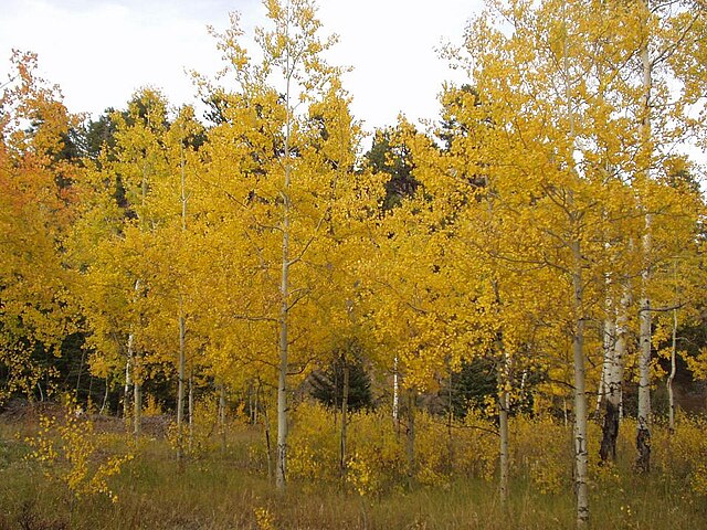
Autumn in the Bighorn Mountains
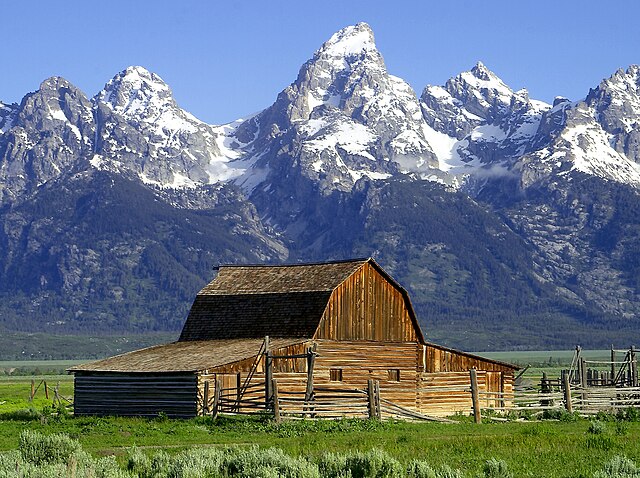
Teton Range