Geographic information system
A geographic information system (GIS) consists of integrated computer hardware and software that store, manage, analyze, edit, output, and visualize geographic data. Much of this often happens within a spatial database, however, this is not essential to meet the definition of a GIS. In a broader sense, one may consider such a system also to include human users and support staff, procedures and workflows, the body of knowledge of relevant concepts and methods, and institutional organizations.
Hillshade model derived from a digital elevation model of the Valestra area in the northern Apennines (Italy)
An example of use of layers in a GIS application. In this example, the forest-cover layer (light green) forms the bottom layer, with the topographic layer (contour lines) over it. Next up is a standing water layer (pond, lake) and then a flowing water layer (stream, river), followed by the boundary layer and finally the road layer on top. The order is very important in order to properly display the final result. Note that the ponds are layered under the streams, so that a stream line can be seen overlying one of the ponds.
ArcGIS Server website depicting submersed aquatic vegetation
U.S. Federal Emergency Management Agency (FEMA) Administrator W. Craig Fugate speaking at a Red Cross seminar on using social media during natural disasters. GIS has an integral role to play in such agendas.
Geoinformatics is a scientific field primarily within the domains of Computer Science and technical geography. It focuses on the programming of applications, spatial data structures, and the analysis of objects and space-time phenomena related to the surface and underneath of Earth and other celestial bodies. The field develops software and web services to model and analyse spatial data, serving the needs of geosciences and related scientific and engineering disciplines. The term is often used interchangeably with Geomatics, although the two have distinct focuses; Geomatics emphasizes acquiring spatial knowledge and leveraging information systems, not their development. At least one publication has claimed the discipline is pure computer science outside the realm of geography.
Satellite navigation
Photogrammetry
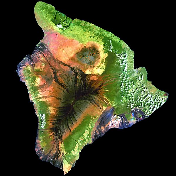
Remote sensing
Navigation


