The geography of Bolivia includes the Eastern Andes Mountain Range which bisects Bolivia roughly from north to south. To the east of that mountain chain are lowland plains of the Amazon Basin, and to the west is the Altiplano which is a highland plateau where Lake Titicaca is located. Bolivia's geography has features similar to those of Peru which abuts Bolivia's northwest border; like Bolivia, Peru is bisected from north to south by the Eastern Andes Mountains, and these two countries share Lake Titicaca which is the highest navigable lake on Earth. Unlike Peru, however, Bolivia is one of the two landlocked countries in South America, the other being Paraguay which is located along Bolivia's southeast border.
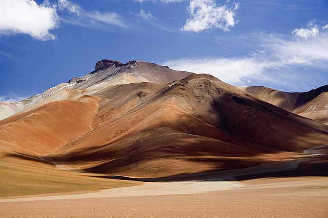
Colors of Altiplano Boliviano.
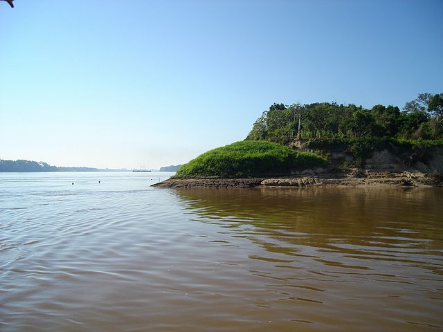
The northernmost point of Bolivia
Image: Los Yungas La Paz Bolivia
Image: Desierto Salvador Dalí, Bolivia
Bolivia, officially the Plurinational State of Bolivia, is a landlocked country located in western-central South America. It is bordered by Brazil to the north and east, Paraguay to the southeast, Argentina to the south, Chile to the southwest, and Peru to the west. The seat of government and administrative capital is La Paz, which contains the executive, legislative, and electoral branches of government, while the constitutional capital is Sucre, the seat of the judiciary. The largest city and principal industrial center is Santa Cruz de la Sierra, located on the Llanos Orientales, a mostly flat region in the east of the country.
The colonial Mint of Potosí
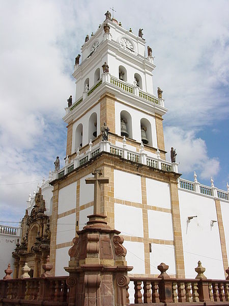
Metropolitan Cathedral of Sucre in Sucre, a UNESCO World Heritage city.
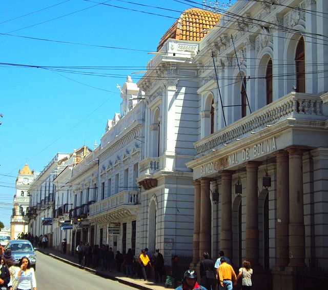
Historic headquarters of Banco Nacional de Bolivia in Sucre
In 1971 Hugo Banzer Suárez, supported by the CIA, forcibly ousted President Torres in a coup.