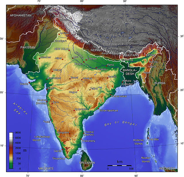
India is situated north of the equator between 8°4' north to 37°6' north latitude and 68°7' east to 97°25' east longitude. It is the seventh-largest country in the world, with a total area of 3,287,263 square kilometres (1,269,219 sq mi). India measures 3,214 km (1,997 mi) from north to south and 2,933 km (1,822 mi) from east to west. It has a land frontier of 15,200 km (9,445 mi) and a coastline of 7,516.6 km (4,671 mi).
Geography of India
Topography of India
Malani Igneous Suite, largest in India and third largest igneous suite in the world, at Jodhpur near Mehrangarh Fort.
The Kedarnath range in the Garhwal Himalayas in India.
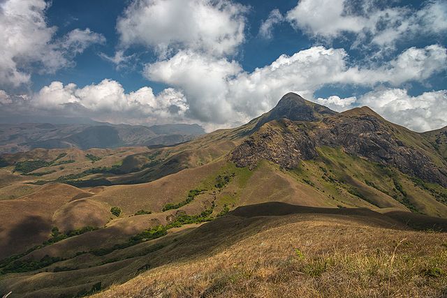
The Western Ghats, also known as the Sahyadris, is a mountain range that stretches 1,600 km (990 mi) along the western coast of the Indian peninsula. Covering an area of 160,000 km2 (62,000 sq mi), it traverses the states of Gujarat, Maharashtra, Goa, Karnataka, Kerala and Tamil Nadu. The mountains form an almost continuous chain of mountains along the western edge of the Deccan Plateau from the Tapti river to the southern tip of the Indian peninsula at Kanniyakumari. The Western Ghats meets with the Eastern Ghats at Nilgiris before continuing south.
Anaimudi, the highest peak in the Western Ghats
Western Ghats form a continuous chain of mountains
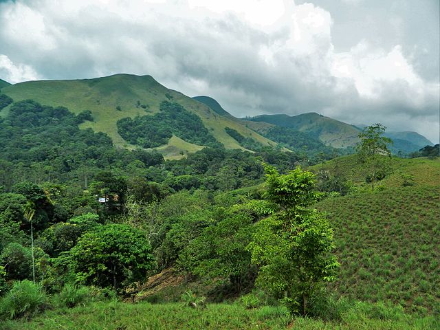
Sholas, a unique type of stunted tropical montane forest found in the valleys between the mountains
A gaur herd