Geography of the United Arab Emirates
The United Arab Emirates is situated in the Middle East and West Asia, bordering the Gulf of Oman and the Persian Gulf, between Oman and Saudi Arabia; it is at a strategic location along the northern approaches to the Strait of Hormuz, a vital transit point for world crude oil. The UAE lies between 22°50′ and 26° north latitude and between 51° and 56°25′ east longitude. It shares a 19 km (12 mi) border with Qatar on the northwest, a 530 km (330 mi) border with Saudi Arabia on the west, south, and southeast, and a 450 km (280 mi) border with Oman on the southeast and northeast.
Geography of the United Arab Emirates
The coast of Abu Dhabi
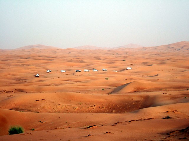
An organised dune-bashing safari in the Emirate of Dubai
Jebel Hafeet near Al Ain in the Emirate of Abu Dhabi
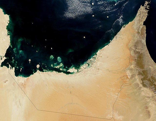
The Gulf of Oman or Sea of Oman, also known as Gulf of Makran or Sea of Makran, is a gulf in the Indian Ocean that connects the Arabian Sea with the Strait of Hormuz, which then runs to the Persian Gulf. It borders Iran and Pakistan on the north, Oman on the south, and the United Arab Emirates on the west.
Satellite view of Iran, Pakistan and the Gulf of Oman.
Khor Fakkan, a city in the Emirate of Sharjah, has one of the major container ports in the eastern seaboard of the United Arab Emirates.
U.S. Navy, French Navy, and Italian Navy aircraft carriers conduct operations in the U.S. 5th Fleet area of responsibility in the Gulf of Oman.
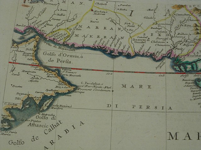
The western part of the Indian Ocean, by Vincenzo Maria Coronelli, 1693 from his system of global gores the Makran coast