Governors Island
Videos
Photos
Governors Island is a 172-acre (70 ha) island in New York Harbor, within the New York City borough of Manhattan. It is located approximately 800 yards (730 m) south of Manhattan Island, and is separated from Brooklyn to the east by the 400-yard-wide (370 m) Buttermilk Channel. The National Park Service administers a small portion of the north end of the island as the Governors Island National Monument, including two former military fortifications named Fort Jay and Castle Williams. The Trust for Governors Island operates the remaining 150 acres (61 ha), including 52 historic buildings, as a public park. About 103 acres (42 ha) of the land area is fill, added in the early 1900s to the south of the original island.

Governors Island viewed from One World Trade Center in 2017
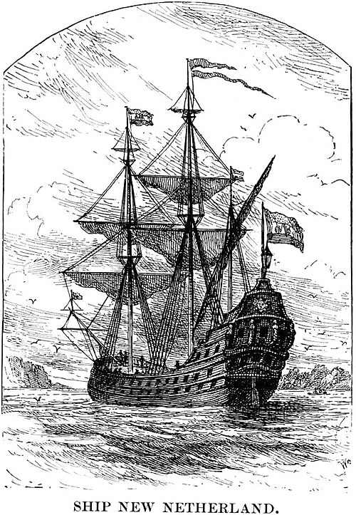
Nieu Nederlandt ship portrait

A house in Nolan Park

Castle Williams
New York Harbor
Videos
Photos
New York Harbor is at the mouth of the Hudson River where it empties into New York Bay near the East River tidal estuary, and then into the Atlantic Ocean on the East Coast of the United States.

Upper New York Bay highlighted in red. It is connected to Lower New York Bay on the south by the Narrows. Ellis Island (north) and Liberty Island (south) are shown in the northwest corner of the bay.

New York Harbor and Upper New York Bay (right), Hudson River (lower left), and East River (upper left) in April 2013

Wallabout Bay and East River (foreground), Hudson River (at right), Upper New York Bay (left) and Newark Bay in the distance in April 1981

New Amsterdam, 1660: early East River docks along left bottom; protective wall against the British on right. West is at top. (Castello Plan redraft)