The Great Basin Desert is part of the Great Basin between the Sierra Nevada and the Wasatch Range. The desert is a geographical region that largely overlaps the Great Basin shrub steppe defined by the World Wildlife Fund, and the Central Basin and Range ecoregion defined by the U.S. Environmental Protection Agency and United States Geological Survey. It is a temperate desert with hot, dry summers and snowy winters. The desert spans large portions of Nevada and Utah, and extends into eastern California. The desert is one of the four biologically defined deserts in North America, in addition to the Mojave, Sonoran, and Chihuahuan Deserts.
Central Basin and Range from space (central-west Nevada region, view due-south)
Valley bottom at Ash Meadows National Wildlife Refuge
Sagebrush in the Virgin Mountains, Nevada
Pinyon-Juniper woodland in Elko County, Nevada
The Great Basin is the largest area of contiguous endorheic watersheds, those with no outlets to the ocean, in North America. It spans nearly all of Nevada, much of Utah, and portions of California, Idaho, Oregon, Wyoming, and Baja California. It is noted for both its arid climate and the basin and range topography that varies from the North American low point at Badwater Basin in Death Valley to the highest point of the contiguous United States, less than 100 miles (160 km) away at the summit of Mount Whitney. The region spans several physiographic divisions, biomes, ecoregions, and deserts.
The Tule Valley watershed and the House Range (Notch Peak) are part of the Great Basin's Great Salt Lake hydrologic unit
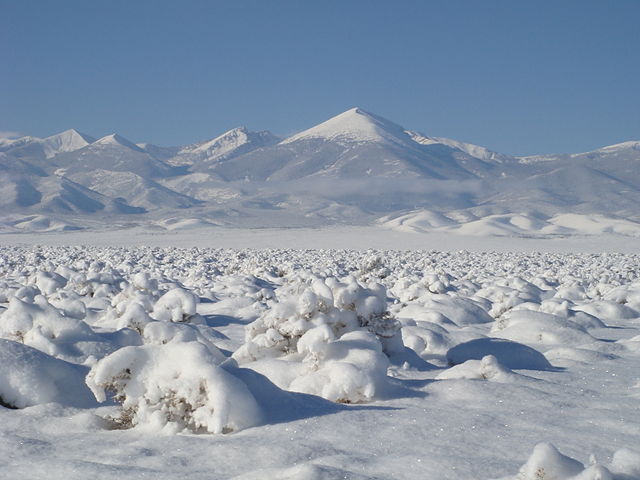
Great Basin snowstorm in the Snake Valley of Utah and Nevada
Basin and Range topography as seen from the air
Wah Wah Valley, Utah, thunderstorm