Great Eastern Highway is a 590-kilometre-long (370 mi) road that links the Western Australian capital of Perth with the city of Kalgoorlie. A key route for road vehicles accessing the eastern Wheatbelt and the Goldfields, it is the western portion of the main road link between Perth and the eastern states of Australia. The highway forms the majority of National Highway 94, although the alignment through the Perth suburbs of Guildford and Midland, and the eastern section between Coolgardie and Kalgoorlie are not included. Various segments form parts of other road routes, including National Route 1, Alternative National Route 94, and State Route 51.
Northam airport, at the junction of Great Eastern Highway and Northam–Pithara Road
View west along Great Eastern Highway in Coolgardie
Road through the hills, crossing the Darling Scarp
View of Great Eastern Highway, lined by wattle, through Mahogany Creek in 1939
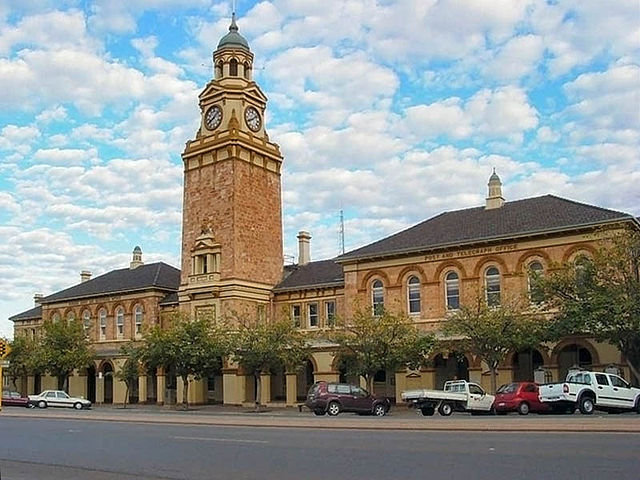
Kalgoorlie is a city in the Goldfields–Esperance region of Western Australia, located 595 km (370 mi) east-northeast of Perth at the end of the Great Eastern Highway. It is sometimes referred to as Kalgoorlie–Boulder, as the surrounding urban area includes the historic townsite of Boulder and the local government area is the City of Kalgoorlie–Boulder.
Kalgoorlie
Since 1897, a tree has marked the spot where gold was found on 14 June 1893.
York and Oriental Hotels, c. 1900
Hannan Street in September 1930; the Exchange Hotel is at the centre, with the Palace Hotel on the right.