Great Mississippi Flood of 1927
The Great Mississippi Flood of 1927 was the most destructive river flood in the history of the United States, with 27,000 square miles (70,000 km2) inundated in depths of up to 30 feet (9 m) over the course of several months in early 1927. The period cost of the damage has been estimated to be between $246 million and $1 billion, which ranges from $4.2–$17.3 billion in 2023 dollars.
An aerial view of one of the levee breaches (Mound Landing, Mississippi, breached 21 April)
Submerged farmland
A river levee is blown up in Caernarvon, Louisiana (29 April)
Poultry and livestock sit on a levee just above the water
Arkansas is a landlocked state in the South Central region of the Southern United States. It borders Missouri to the north, Tennessee and Mississippi to the east, Louisiana to the south, Texas to the southwest, and Oklahoma to the west. Its name derives from the Osage language, and refers to their relatives, the Quapaw people. The state's diverse geography ranges from the mountainous regions of the Ozark and Ouachita Mountains, which make up the U.S. Interior Highlands, to the densely forested land in the south known as the Arkansas Timberlands, to the eastern lowlands along the Mississippi River and the Arkansas Delta.
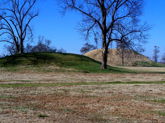
Platform mounds were constructed frequently during the Woodland and Mississippian periods.
Arkansas statehood, 100th anniversary issue; released on June 15, 1936, on the 100th anniversary of Arkansas statehood. The old state house is depicted at center, the fort surrounding the Arkansas Post at left with the present day state capitol building at right.
Lakeport Plantation, built c. 1859
Cannons at Battle of Pea Ridge site


