Green Line (Israel)
Videos
The Green Line, or 1949 Armistice border, is the demarcation line set out in the 1949 Armistice Agreements between the armies of Israel and those of its neighbors after the 1948 Arab–Israeli War. It s
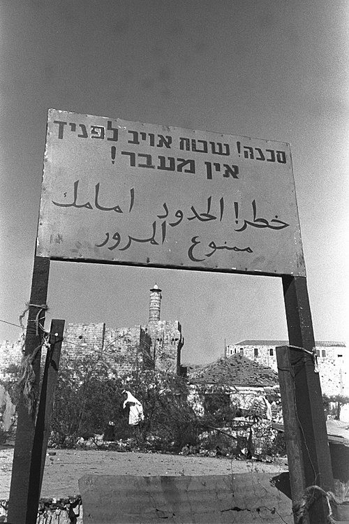
A border sign in Jerusalem, 1951; in the background: Tower of David

Barbed wire separating East and West Jerusalem at Mandelbaum Gate

Barbed wire fence separating Palestinian Authority from Israel at the former Israeli-Jordanian Green Line
West Bank
Videos
The West Bank is the larger of the two Palestinian territories that make up Palestine. A landlocked territory located on the western bank of the Jordan River near the coast of the Mediterranean Sea in
Green Line (Israel)
…1949 until the Six-Day War in 1967, and continues to represent Israel's internationally recognized borders with the two Palestinian territories: the West Bank and the Gaza Strip. The Gaza Strip borders Egypt while the West Bank borders the country of Jordan. The Green Line was intended as a demarcation line…

The Cave of the Patriarchs is one of the most famous holy sites in the region.

King Hussein flying over the Temple Mount in Jerusalem when it was under Jordanian control, 1965

View of the Judaean Mountains from Ramallah
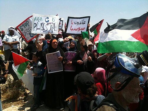
A Palestinian demonstration against the demolition of the village Susya