Hagley Park, Christchurch
Hagley Park is the largest urban open space in Christchurch, New Zealand, and was created in 1855 by the Provincial Government. According to the government's decree at that time, Hagley Park is "reserved forever as a public park, and shall be open for the recreation and enjoyment of the public." Hagley Park is characterised by its trees and broad open spaces. Hagley Park was named after Hagley Park, the country estate of Lord Lyttelton, who became chairman of the Canterbury Association in March 1850.
Aerial view of Hagley Park, showing (from top) North Hagley Park, the Botanic Gardens, and South Hagley Park
Cherry blossoms flowering during springtime in Hagley Park
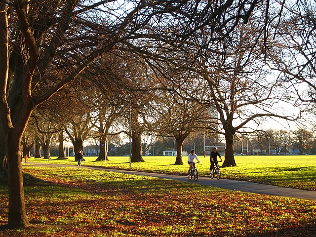
North Hagley Park, late afternoon in winter
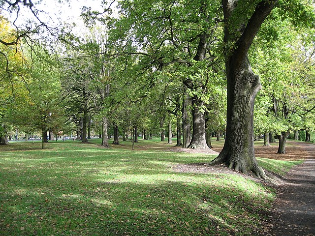
Little Hagley Park (north of Harper Ave) in summer
Christchurch is the largest city in the South Island and the second-largest city by urban area population in New Zealand, after Auckland. Christchurch lies in the Canterbury Region, near the centre of the east coast of the South Island, east of the Canterbury Plains. It is located near the southern end of Pegasus Bay, and is bounded to the east by the Pacific Ocean and to the south by Banks Peninsula. The Avon River / Ōtākaro flows through the centre of the city, with a large urban park along its banks. Christchurch has a reputation for being an 'English' city, with its architectural identity and common nickname the "Garden City" due to similarities with garden cities in England.
Coat of arms
Image: Panorama of northern parts of Christchurch Central City, New Zealand
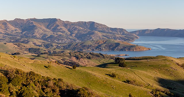
Image: View towards Akaroa from Little Akaloa Road, Canterbury, New Zealand
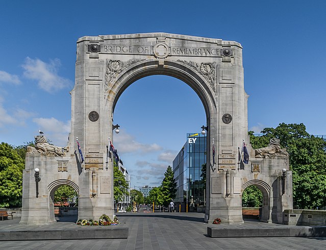
Image: Bridge of Remembrance 01


