Haughley is a village and civil parish in the English county of Suffolk, in the Mid Suffolk District. The village is located 2 miles (3.2 km) northwest of the town of Stowmarket, overlooking the Gipping valley, next to the A14 corridor. The population recorded in 2011 was 1,638. Mentioned in the Domesday Book, it was the site of a castle, a church on the pilgrim's route to Bury St Edmunds Abbey, and a market. Adjacent farms on the north side of the village were also home to one of the first studies of organic farming and the first headquarters of the Soil Association.
Village sign in Haughley, depicting Haughley Castle
Old Street, Haughley
King's Arms Inn, Haughley - geograph.org.uk - 321385
Crawford's School, Haughley - geograph.org.uk - 321973
Stowmarket is a market town and civil parish in the Mid Suffolk district, in Suffolk, England, on the busy A14 trunk road between Bury St Edmunds to the west and Ipswich to the southeast. The town lies on the Great Eastern Main Line (GEML) between Diss and Needham Market, and lies on the River Gipping, which is joined by its tributary, the River Rat, to the south of the town.
Eastbridge Windpump at The Food Museum (June 2006)
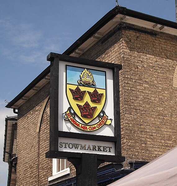
Town sign, Market Place, unveiled by Queen Elizabeth II in 2002
Church of St Peter and St Mary
Stowmarket railway station from the front