Haughley railway station was located in Haughley, Suffolk on the Great Eastern Main Line between Liverpool Street Station and Norwich. It opened on 7 July 1849 named Haughley Junction and was a replacement for a station named Haughley Road which had been in service from 1846 to 1849 at location TM 02981 63319 on the line to Elmswell.
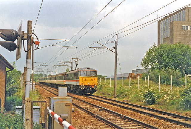
The site of the station in 1997
Station plans during the construction of the Mid-Suffolk Light Railway, May 1899.
Haughley is a village and civil parish in the English county of Suffolk, in the Mid Suffolk District. The village is located 2 miles (3.2 km) northwest of the town of Stowmarket, overlooking the Gipping valley, next to the A14 corridor. The population recorded in 2011 was 1,638. Mentioned in the Domesday Book, it was the site of a castle, a church on the pilgrim's route to Bury St Edmunds Abbey, and a market. Adjacent farms on the north side of the village were also home to one of the first studies of organic farming and the first headquarters of the Soil Association.
Village sign in Haughley, depicting Haughley Castle
Old Street, Haughley
King's Arms Inn, Haughley - geograph.org.uk - 321385
Crawford's School, Haughley - geograph.org.uk - 321973