History of the British canal system
The canal network of the United Kingdom played a vital role in the Industrial Revolution. The UK was the first country to develop a nationwide canal network which, at its peak, expanded to nearly 4,000 miles in length. The canals allowed raw materials to be transported to a place of manufacture, and finished goods to be transported to consumers, more quickly and cheaply than by a land based route. The canal network was extensive and included feats of civil engineering such as the Anderton Boat Lift, the Manchester Ship Canal, the Worsley Navigable Levels and the Pontcysyllte Aqueduct.
Traditional working canal boats
The Stamford Canal opened circa 1670
The Sankey Canal as viewed from Spike Island in Widnes
The Bridgewater Canal
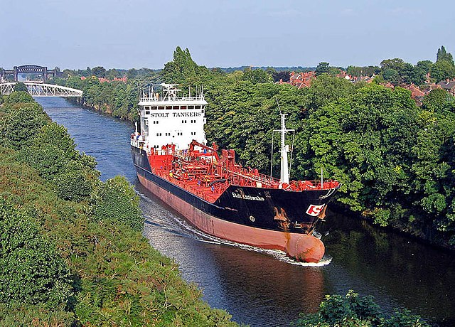
The Manchester Ship Canal is a 36 mi-long (58 km) inland waterway in the North West of England linking Manchester to the Irish Sea. Starting at the Mersey Estuary at Eastham, near Ellesmere Port, Cheshire, it generally follows the original routes of the rivers Mersey and Irwell through the historic counties of Cheshire and Lancashire. Several sets of locks lift vessels about 60 ft (18 m) to the canal's terminus in Manchester. Landmarks along its route include the Barton Swing Aqueduct, the world's only swing aqueduct, and Trafford Park, the world's first planned industrial estate and still the largest in Europe.
Stolt Kittiwake heading toward the Mersey Estuary, 2005
A cartoon published in the satirical magazine Punch in 1882, ridiculing the idea that Manchester could become a major seaport
Cheque dated 3 August 1887, in the amount of £1,710,000, for the purchase of the Bridgewater Navigation Company. At the time it was the largest cheque ever presented.
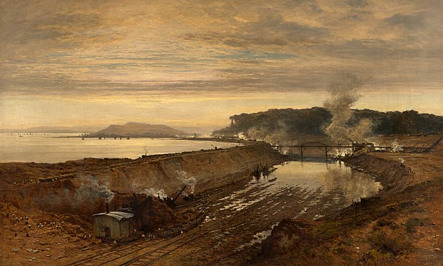
The Excavation of the Manchester Ship Canal: Eastham Cutting with Mount Manisty in the Distance (1891), by Benjamin Williams Leader, brother of the canal's engineer Edward Leader Williams


