The Hula Valley is an agricultural region in northern Israel with abundant fresh water that used to be Lake Hula before it was drained. It is a major stopover for birds migrating along the Great Rift Valley between Africa, Europe, and Asia.
A wheat field in the Hula Valley, against the background of Mount Hermon, March 2007.
Hula Valley farmland
Palestine Post article explaining the history of the Huleh Concession, 12 August 1937
Water buffalo grazing in Hula Valley
The Great Rift Valley is a series of contiguous geographic trenches, approximately 7,000 kilometres (4,300 mi) in total length, that runs from Lebanon in Asia to Mozambique in Southeast Africa. While the name continues in some usages, it is rarely used in geology as it is considered an imprecise merging of separate though related rift and fault systems.
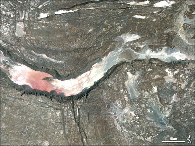
Satellite image of a graben in the Afar Depression
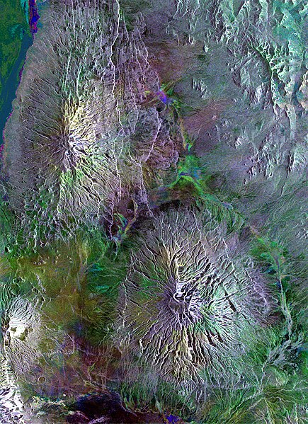
This Envisat radar image captures volcanoes dotted across the landscape in Tanzania, including the distinctive Ol Doinyo Lengai (at lower left), in the Great Rift Valley of East Africa. The Gelai Volcano (2942 m) is visible at the top, and the Kitumbeine volcano