Ice Age Floods National Geologic Trail
The Ice Age Floods National Geologic Trail is a network of routes connecting natural sites and facilities that provide interpretation of the geological consequences of the Glacial Lake Missoula floods of the last glacial period that occurred about 18,000 to 15,000 years ago. It includes sites in Washington, Oregon, Idaho, and Montana. It was designated as the first National Geologic Trail in the United States in 2009.
Glacial Lake Columbia (west) and Glacial Lake Missoula (east) are shown south of the Cordilleran Ice Sheet. The areas inundated in the Columbia and Missoula floods are shown in red.
Glacial Lake Missoula high-water mark, 4200 ft.
Illustration of the glacial flows leading to formation of several parts of the trail
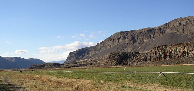
Moses Coulee at mid canyon
Lake Missoula was a prehistoric proglacial lake in western Montana that existed periodically at the end of the last ice age between 15,000 and 13,000 years ago. The lake measured about 7,770 square kilometres (3,000 sq mi) and contained about 2,100 cubic kilometres (500 cu mi) of water, half the volume of Lake Michigan.
Wave-cut strandlines cut into the slope at left in photo. These cuts record former high-water lines, or shorelines. Gullies above the highway are the result of modern-day erosion. (NPS Photo)
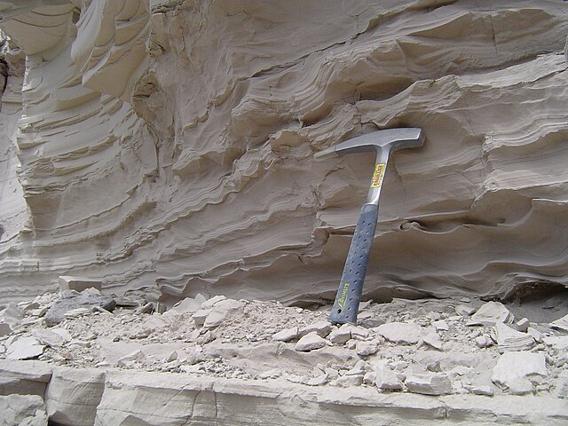
Sediment deposited by the lake with a hammer for scale.