The Icknield Way is an ancient trackway in southern and eastern England that runs from Norfolk to Wiltshire. It follows the chalk escarpment that includes the Berkshire Downs and Chiltern Hills.
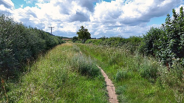
Icknield Way near Lewknor in Oxfordshire
The same view of the Icknield Way near Lewknor from 2005 before the byway was restricted to exclude motor vehicles
Spencer Gore: "Icknield Way", 1912. Used as the cover picture of "The Icknield Way Path – A Walkers' Guide" published by the Icknield Way Association in 2012
The Chiltern Hills are a chalk escarpment in southern England, northwest of London, covering 660 square miles (1,700 km2) across Oxfordshire, Buckinghamshire, Hertfordshire, and Bedfordshire, stretching 45 miles (72 km) from Goring-on-Thames in the southwest to Hitchin in the northeast. The hills are 12 miles (19 km) at their widest.
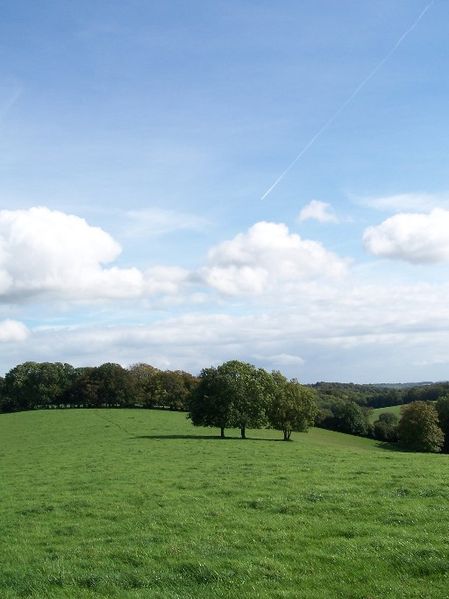
Near Nettlebed, Oxfordshire
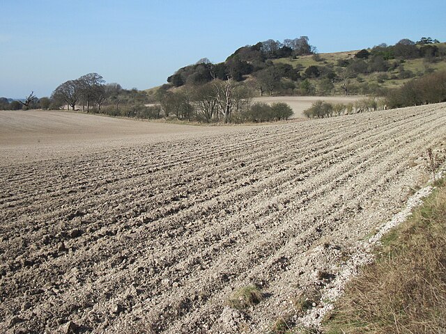
Chalk visible in ploughed soil at the foot of the Chiltern Hill escarpment near Shirburn on the Buckinghamshire/Oxfordshire border
Viewed from The Ridgeway: eastern trailhead on Ivinghoe Beacon
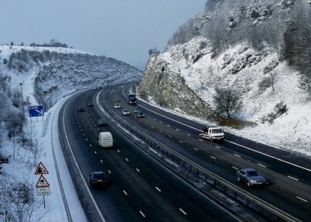
Stokenchurch Gap, a cutting built to carry the M40 motorway through a section of the Chiltern Hills