Inertial navigation system
An inertial navigation system is a navigation device that uses motion sensors (accelerometers), rotation sensors (gyroscopes) and a computer to continuously calculate by dead reckoning the position, the orientation, and the velocity of a moving object without the need for external references. Often the inertial sensors are supplemented by a barometric altimeter and sometimes by magnetic sensors (magnetometers) and/or speed measuring devices. INSs are used on mobile robots and on vehicles such as ships, aircraft, submarines, guided missiles, and spacecraft. Older INS systems generally used an inertial platform as their mounting point to the vehicle and the terms are sometimes considered synonymous.
A 1950s inertial navigation control developed at MIT
Apollo IMU
Inertial navigation unit of French IRBM S3.
Apollo gimballed gyrostabilized platform
Navigation is a field of study that focuses on the process of monitoring and controlling the movement of a craft or vehicle from one place to another. The field of navigation includes four general categories: land navigation, marine navigation, aeronautic navigation, and space navigation.
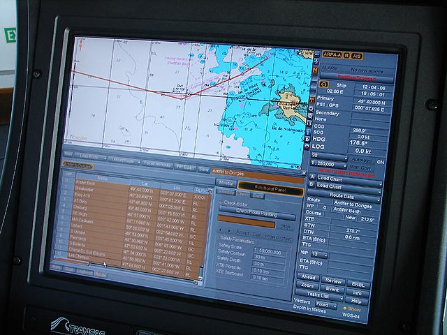
A navigation system on an oil tanker
Manual navigation through Dutch airspace
Radar ranges and bearings can be used to determine a position.
Poor passage planning and deviation from the plan can lead to groundings, ship damage and cargo loss.


