Inyo County, California
Videos
Inyo County is a county in the eastern central part of the U.S. state of California, located between the Sierra Nevada and the state of Nevada. In the 2020 census, the population was 19,016. The county seat is Independence. Inyo County is on the east side of the Sierra Nevada and southeast of Yosemite National Park in Central California. It contains the Owens River Valley; it is flanked to the west by the Sierra Nevada and to the east by the White Mountains and the Inyo Mountains. With an area of 10,192 square miles (26,400 km2), Inyo is the second-largest county by area in California, after San Bernardino County. Almost one-half of that area is within Death Valley National Park. However, with a population density of 1.8 people per square mile, it also has the second-lowest population density in California, after Alpine County.

Wildflowers blooming in Death Valley after a wet winter
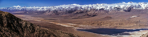
Owens Valley and the Sierra Escarpment
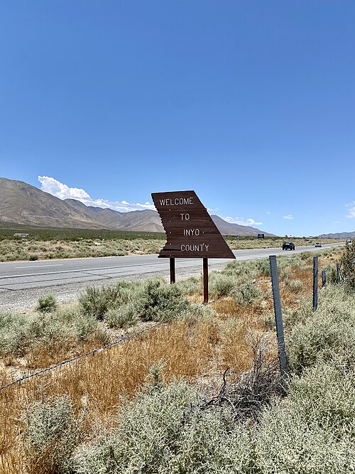
"Welcome to Inyo County" sign along U.S. Route 395

The Inyo County Court House in Independence
Eastern California
Videos
Eastern California is a region defined as either the strip to the east of the crest of the Sierra Nevada or as the easternmost counties of California.

Downtown San Bernardino, anchor of the largest metro area in East California and 12th in the United States.

Sand dunes in Death Valley

Snowy forest at Boreal Mountain Resort

View from State Route 158