Itezhi-Tezhi Dam
Videos
The Itezhi-Tezhi Dam on the Kafue River in west-central Zambia was built between 1974 and 1977 at the Itezhi-Tezhi Gap, in a range of hills through which the river had eroded a narrow valley, leading

"Not all floods are unwanted"— NASA. The eastern (lower) half of the Kafue Flats in the middle of the dry season, one year apart. Water shows as dark areas, the Kafue's main channel shows as the squiggle running left to right. In early 2004 the floodgates of the Itezhi-Tezhi Dam (about 80 km to the left of the photo) were opened to allow the natural flooding which used to happen before the dam was built. Compared to the previous year, much more of the flats remain inundated in the dry season and there is lot more vegetation (green colour). (Key: 1 Lusaka, 2 Kafue town, 3 Kafue Gorge Dam, 4, Mazabuka and Nakambala Sugar Estates, 5 Blue Lagoon National Park, 6 Lochinvar National Park, 7 Chunga Lagoon, 8 Kasenga.) Photo credit NASA/GSFC/LaRC/JPL, MISR Team.
Kafue Flats
Videos
The Kafue Flats are a vast area of swamp, open lagoon and seasonally inundated flood-plain on the Kafue River in the Southern, Central and Lusaka provinces of Zambia. They are a shallow flood plain 24

False colour NASA MODIS image of the Kafue Flats in flood and the Itezhi-Tezhi dam - 14 February 2008.

The Kafue Flats, Blue Lagoon National Park, Lochinvar National Park and Kafue Flats Game Management Area (GMA).
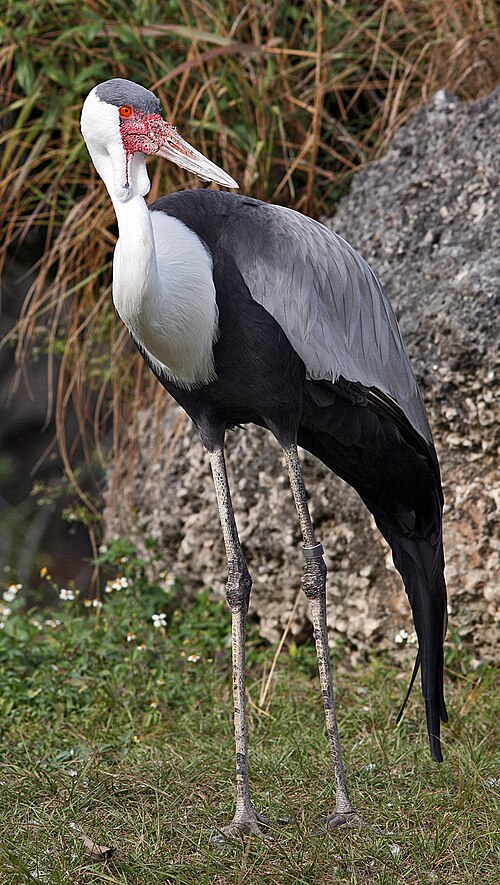
Wattled crane.