January 2018 North American blizzard
The January 2018 North American blizzard caused widespread severe disruption and blizzard conditions across much of the East Coasts of the United States and Canada in early January 2018. The storm dropped up to 2 feet of snow in the Mid-Atlantic states, New England, and Atlantic Canada, while areas as far south as southern Georgia and far northern Florida had brief wintry precipitation, with 0.1 inches of snow measured officially in Tallahassee, Florida. The storm originated on January 3 as an area of low pressure off the coast of the Southeast. Moving swiftly to the northeast, the storm explosively deepened while moving parallel to the Eastern Seaboard, causing significant snowfall accumulations. The storm received various unofficial names, such as Winter Storm Grayson, Blizzard of 2018 and Storm Brody. The storm was also dubbed a "historic bomb cyclone".

GOES-16 satellite image of the blizzard rapidly deepening off the Northeastern United States at 13:45 UTC (8:45 a.m EST) on January 4, 2018.
The Empire State Building barely visible from the 12th floor of an office building 2 blocks north during the peak of the storm due to near whiteout conditions.
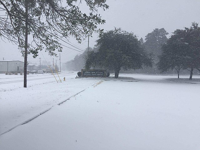
Snow cover at the National Guard armory in North Charleston, South Carolina.
Aftermath of the blizzard in Newington, Virginia.
A blizzard is a severe snowstorm characterized by strong sustained winds and low visibility, lasting for a prolonged period of time—typically at least three or four hours. A ground blizzard is a weather condition where snow is not falling but loose snow on the ground is lifted and blown by strong winds. Blizzards can have an immense size and usually stretch to hundreds or thousands of kilometres.
Heavy snow during the January 2016 United States blizzard.
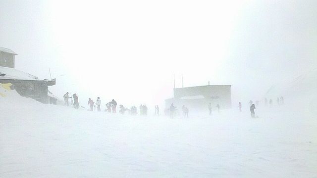
Blizzard at the Tochal Skiing resort, Tehran and affected skiers.
A late night heavy blizzard in Ontario, Canada.
Drifted snow near Burrow-with-Burrow, Lancashire, England, January 1963