Kanker district
Videos
Uttar Bastar Kanker District is located in the southern region of the state of Chhattisgarh, India within the latitudes 20.6-20.24 and longitudes 80.48-81.48. The total area of the district is 6432 square kilometers. The population is 748,941.

Tributary of Dood river near Kanker
Dhamtari district
Videos
Dhamtari is a district of the Indian state of Chhattisgarh. This district is situated at 20°42' N latitude and 81°33' E longitude. Dhamtari district was officially formed on 6 July 1998 by trifurcating Raipur district into Raipur, Dhamtari and Mahasamund districts.
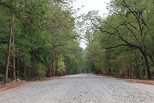
Forest in Sitanadi Wildlife Sanctuary