Kennington is a district in south London, England. It is mainly within the London Borough of Lambeth, running along the boundary with the London Borough of Southwark, a boundary which can be discerned from the early medieval period between the Lambeth and St George's parishes of those boroughs respectively. It is located 1.4 miles (2.3 km) south of Charing Cross in Inner London and is identified as a local centre in the London Plan. It was a royal manor in the parish of St Mary, Lambeth in the county of Surrey and was the administrative centre of the parish from 1853. Proximity to central London was key to the development of the area as a residential suburb and it was incorporated into the metropolitan area of London in 1855.
Kennington Park
Chartist meeting on Kennington Common in 1848
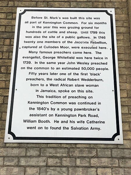
Plaque at St Mark's Church, Kennington in 2022
Kennington Road was constructed in 1751, and houses were soon built along it.
London Borough of Lambeth
Lambeth is a London borough in South London, England, which forms part of Inner London. Its name was recorded in 1062 as Lambehitha and in 1255 as Lambeth. The geographical centre of London is at Frazier Street near Lambeth North tube station, though nearby Charing Cross on the other side of the Thames in the City of Westminster is traditionally considered the centre of London.
Image: 06 2023 London Eye seen from the West IMG 7510
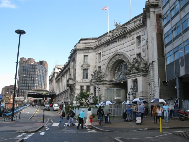
Image: London Waterloo Station geograph.org.uk 3046371
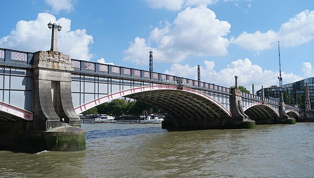
Image: Lambeth Bridge from the Thames
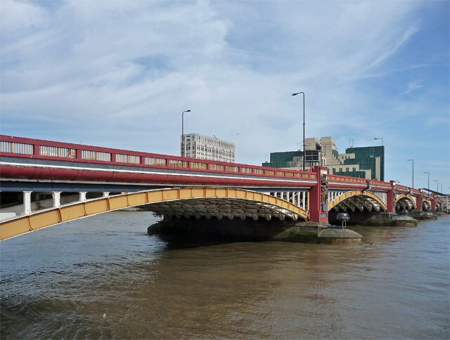
Image: Vauxhall Bridge geograph.org.uk 4694684


