Kent Island (Maryland)
Videos
Kent Island is the largest island in the Chesapeake Bay and a historic place in Maryland. To the east, a narrow channel known as the Kent Narrows barely separates the island from the Delmarva Peninsula, and on the other side, the island is separated from Sandy Point, an area near Annapolis, by roughly four miles (6.4 km) of water. At only four miles wide, the main waterway of the bay is at its narrowest at this point and is spanned here by the Chesapeake Bay Bridge. The Chester River runs to the north of the island and empties into the Chesapeake Bay at Kent Island's Love Point. To the south of the island lies Eastern Bay. The United States Census Bureau reports that the island has 31.62 square miles (81.90 km2) of land area.

Marshland on Kent Island

Love Point Road (viewed from Old Cockey Lane) in Historic Stevensville

Stevensville Train Depot

The Chesapeake Bay Bridge
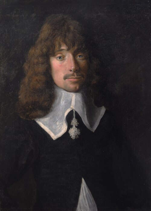
Cecil Calvert, 2nd Baron Baltimore was an English politician, peer and lawyer who was the first proprietor of Maryland. Born in Kent in 1605, he inherited the proprietorship after the death of his father, George Calvert, 1st Baron Baltimore, for whom it had been intended. Calvert proceeded to establish and manage the Province of Maryland as a proprietary colony for English Catholics from his English country house of Kiplin Hall in North Yorkshire.

Modern reconstruction of Dove, one of the two ships that carried settlers to plant Lord Baltimore's first settlement in Maryland in 1634.
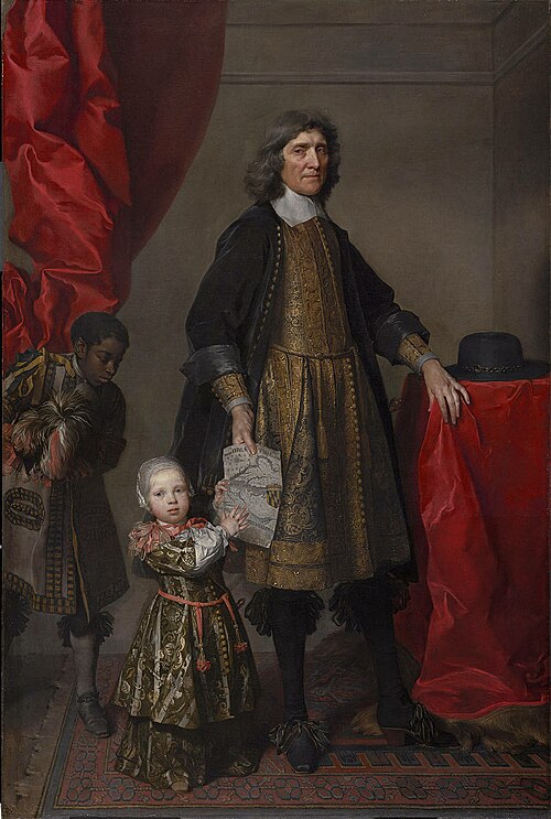
Leonard Calvert, Lord Baltimore's younger brother and the first governor of the Maryland colony.

Maryland Toleration Act, passed in 1649.