Kingdom of Croatia-Slavonia
The Kingdom of Croatia-Slavonia was a nominally autonomous kingdom and constitutionally defined separate political nation within the Austro-Hungarian Empire. It was created in 1868 by merging the kingdoms of Croatia and Slavonia following the Croatian–Hungarian Settlement of 1868. It was associated with the Kingdom of Hungary within the dual Austro-Hungarian state, being within the Lands of the Crown of St. Stephen, also known as Transleithania. While Croatia had been granted a wide internal autonomy with "national features", in reality, Croatian control over key issues such as tax and military issues was minimal and hampered by Hungary. It was internally officially referred to as the Triune Kingdom of Croatia, Slavonia and Dalmatia, also simply known as the Triune Kingdom, and had claims on Dalmatia, which was administered separately by the Austrian Cisleithania. The city of Rijeka, following a disputed section in the 1868 Settlement known as the Rijeka Addendum, became a corpus separatum and was legally owned by Hungary, but administered by both Croatia and Hungary.

Ivan Mažuranić, Ban (viceroy) of the Triune Kingdom of Croatia (in office 1873–1880)
Sculpture symbolizing the Triune Kingdom of Croatia, Zagreb
Banski dvori (Ban's Court), the palace of the Ban of Croatia, in Zagreb, today the seat of the Croatian Government
The coat of arms of the Triune Kingdom on the building of the Croatian Parliament
Austria-Hungary, often referred to as the Austro-Hungarian Empire or the Dual Monarchy, was a multi-national constitutional monarchy in Central Europe between 1867 and 1918. Austria-Hungary was a military and diplomatic alliance of two sovereign states with a single monarch who was titled both emperor of Austria and King of Hungary. Austria-Hungary constituted the last phase in the constitutional evolution of the Habsburg monarchy: it was formed with the Austro-Hungarian Compromise of 1867 in the aftermath of the Austro-Prussian War and was dissolved shortly after Hungary terminated the union with Austria on 31 October 1918.
Bosnian Muslim resistance during the battle of Sarajevo in 1878 against the Austro-Hungarian occupation
Hungarian Parliament building
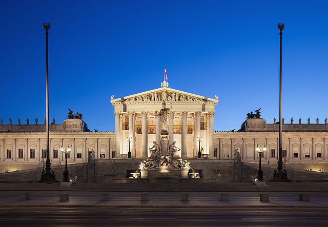
Austrian Parliament building
Romantic-style Great Synagogue in Pécs, built by the Neolog Jewish community in 1869