Kingston Lisle is a village and civil parish in the Vale of White Horse, England, about 4+1⁄2 miles (7 km) west of Wantage and 5 miles (8 km) south-southeast of Faringdon. The parish includes the hamlet of Fawler, about 1⁄2 mile (800 m) west of Kingston Lisle village. The 2011 Census recorded the parish population as 225. Kingston Lisle was part of Berkshire until the 1974 local government boundary changes transferred the Vale of White Horse to Oxfordshire.
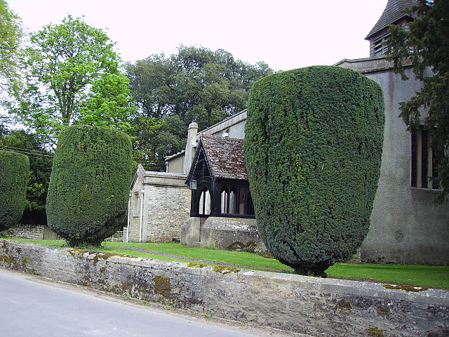
St. John the Baptist parish church
The Blowing Stone
Church Cottage is a 16th-century building with cob walls and thatched roof
Sign outside the Blowing Stone Inn
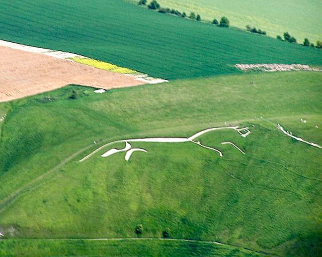
The Vale of White Horse is a local government district of Oxfordshire in England. It was historically part of Berkshire. The area is commonly referred to as the 'Vale of the White Horse'. It is crossed by the Ridgeway National Trail in its far south, across the North Wessex Downs AONB at the junction of four counties. The northern boundary is defined by the River Thames. The name refers to Uffington White Horse, a prehistoric hill figure.
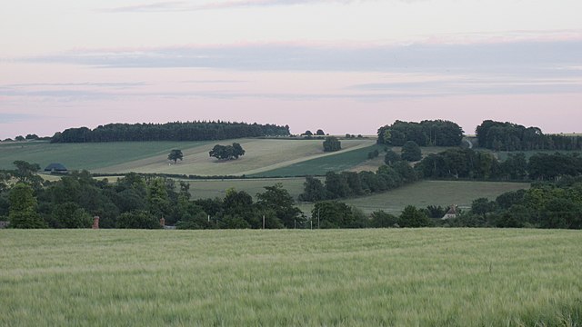
Characteristic landscape of farmland, hills and woodlands
A panoramic view into the Vale; the White Horse is on the right and Dragon Hill centre right
Vale scene, with White Horse Hill on the horizon
The Uffington White Horse, as seen from an altitude of about 600 m (2000 ft), from the cockpit of a glider


