Konaseema district, is one of the 26 districts in the Indian state of Andhra Pradesh. It is situated between the tributaries of the Godavari River in the Konaseema region of Coastal Andhra. It was carved out of East Godavari district on 4 April 2022 by the Government of Andhra Pradesh. Amalapuram is the district headquarters and the largest city in this district. The district shares boundaries with West Godavari, East Godavari and Kakinada districts.
Image: Draksharama temple entrance 02
Image: Crop fields in Yeditha village
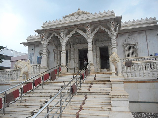
Image: Gummileru Jain Temple close view 2
Image: Amalapuram Land Mark
The Godavari is India's second longest river after the Ganga River and drains the third largest basin in India, covering about 10% of India's total geographical area. Its source is in Trimbakeshwar, Nashik, Maharashtra. It flows east for 1,465 kilometres (910 mi), draining the states of Maharashtra (48.6%), Telangana (18.8%), Andhra Pradesh (4.5%), Chhattisgarh (10.9%) and Odisha (5.7%). The river ultimately empties into the Bay of Bengal through an extensive network of distributaries. Measuring up to 312,812 km2 (120,777 sq mi), it forms one of the largest river basins in the Indian subcontinent, with only the Ganga and Indus rivers having a larger drainage basin. In terms of length, catchment area and discharge, the Godavari is the largest in peninsular India, and had been dubbed as the Dakshina Ganga.
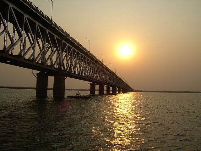
The Godavari bridge across the Godavari in Rajahmundry at East Godavari district
Godavari River delta extending into the Bay of Bengal (upper river in image).
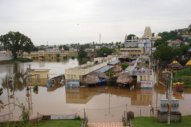
Bhadrachalam Temple during 2005 floods
Road Bridge over Godavari River at Bhadrachalam