Kootenay National Park is a national park of Canada in southeastern British Columbia. The park consists of 1,406 km2 (543 sq mi) of the Canadian Rockies, including parts of the Kootenay and Park mountain ranges, the Kootenay River and the entirety of the Vermilion River. While the Vermilion River is completely contained within the park, the Kootenay River has its headwaters just outside the park boundary, flowing through the park into the Rocky Mountain Trench and eventually joining the Columbia River. The park ranges in elevation from 918 m (3,012 ft) at the southwestern park entrance to 3,424 m (11,234 ft) at Deltaform Mountain.
Stanley Valley and Mount Whymper viewed from the Stanley Glacier Trail.
One of the Paint Pots
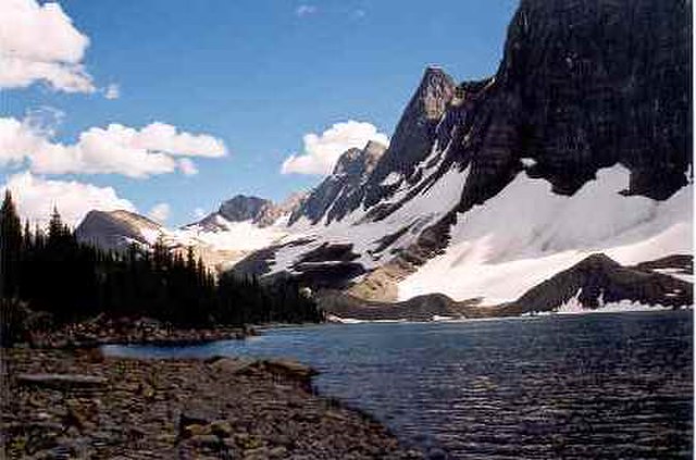
Floe Lake taken from the Floe Lake backcountry campground – July 2004
Hewitt Peak in the Vermilion Range seen from Highway 93
The Canadian Rockies or Canadian Rocky Mountains, comprising both the Alberta Rockies and the British Columbian Rockies, is the Canadian segment of the North American Rocky Mountains. It is the easternmost part of the Canadian Cordillera, which is the northern segment of the North American Cordillera, the expansive system of interconnected mountain ranges between the Interior Plains and the Pacific Coast that runs northwest–southeast from central Alaska to the Isthmus of Tehuantepec in Mexico.
Snow Dome, Mt. Forbes, the Lyells, and others from Mt. Kitchener at the edge of the Columbia Icefield
Ringrose Peak, Lake O'Hara, British Columbia
View of Lake Louise in Alberta
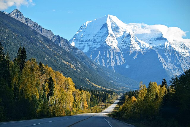
Mount Robson in British Columbia


