Krasnodar Krai
Videos
Krasnodar Krai is a federal subject of Russia, located in the North Caucasus region in Southern Russia and administratively a part of the Southern Federal District. Its administrative center is the city of Krasnodar. The third most populous federal subject, the krai had a population of 5,838,273 as of the 2021 Census.
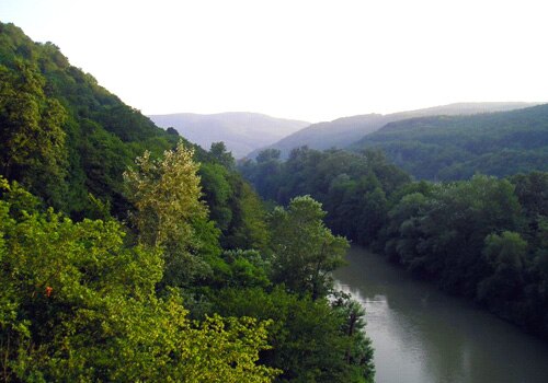
A hilly landscape near Goryachy Klyuch

Mount Tsakhvoa is the highest peak in Krasnodar Krai

Pshadskiye Waterfalls

Lake Abrau
North Caucasus
Videos
The North Caucasus, or Ciscaucasia, is a region in Western Asia governed by Russia. It constitutes the northern part of the wider Caucasus region, which forms the natural border between Europe and West Asia. It is bordered by the Sea of Azov and Black Sea to the west, the Caspian Sea to the east, and the Caucasus Mountains to the south. The region shares land borders with the South Caucasus countries of Georgia and Azerbaijan. Krasnodar is the largest city within the North Caucasus.

Northern Caucasus, Early Bronze Age artifacts, 3rd millennium BCE.