Kuala Belait
Videos
Page
Kuala Belait is the administrative town of Belait District, Brunei. The population of the town proper was 4,259 in 2016. Kuala Belait is officially a municipal area, as well as a village under the mukim of the same name. The town is located 85 kilometres (53 mi) west of the country's capital Bandar Seri Begawan, and 20 kilometres (12 mi) west of Seria, the district's other town. It is also in the westernmost part of country, near the mouth of the Belait River.
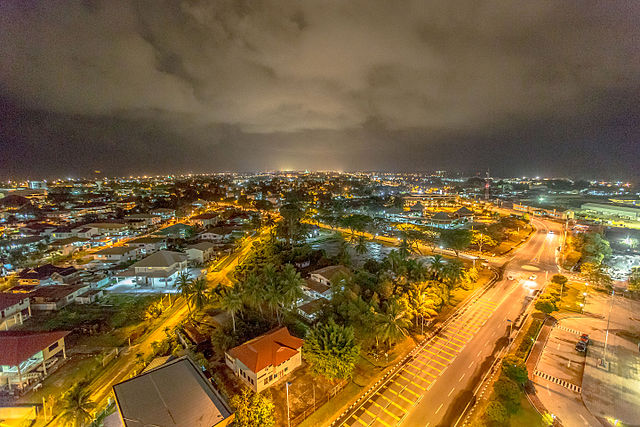
Image: Kuala Belait at Night (18623608099)
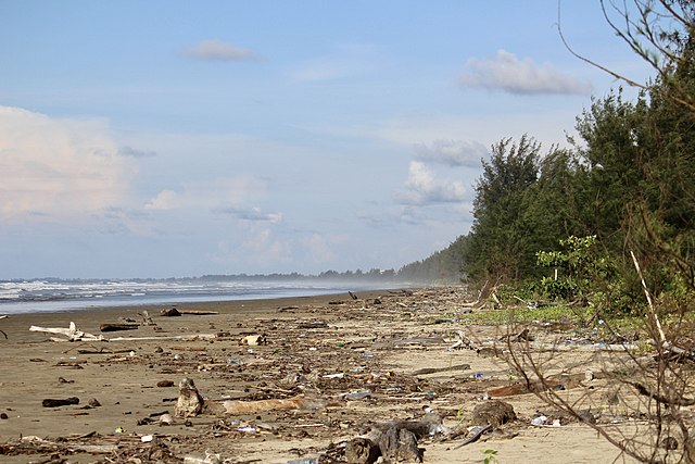
Image: Belait Beach 01

Image: Kuala Belait 11 December 2022 19
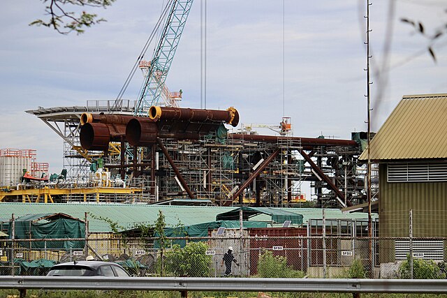
Image: Kuala Belait Shipyard (30042022)
Belait District
Videos
Page
Belait District, or simply Belait, is the largest as well as the westernmost district in Brunei. It has an area of 2,727 square kilometres (1,053 sq mi) and the population of 69,062 as of 2016. The administrative town is Kuala Belait, located at the mouth of the Belait River. The district is commonly associated with the oil and gas industry of the country, mainly concentrated near the town of Seria.

Image: Seria Energy Lab (2)
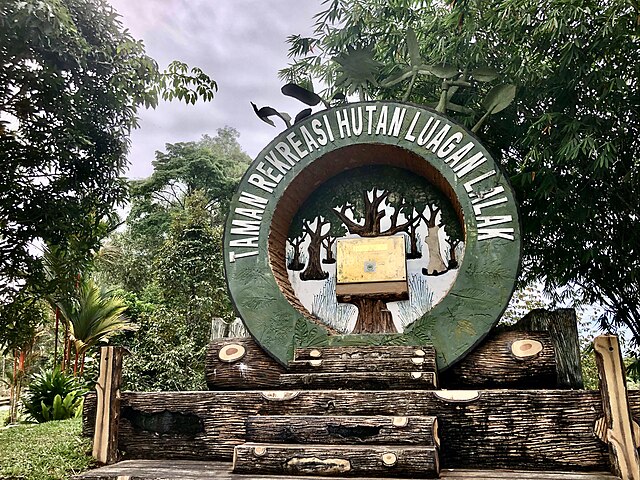
Image: Luagan Lalak Forest Recreational Park (1)

Image: Lumut 18 November 2022 05
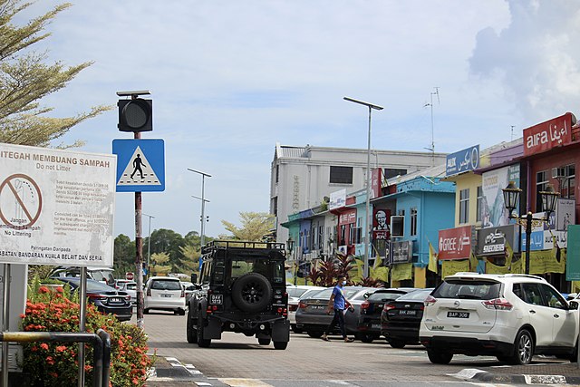
Image: Kuala Belait 15 July 2022 15