Lake Nipissing is a lake in the Canadian province of Ontario. It has a surface area of 873.3 km2 (337.2 sq mi), a mean elevation of 196 m (643 ft) above sea level, and is located between the Ottawa River and Georgian Bay. Lake Nipissing is the third-largest lake entirely in Ontario. It is relatively shallow for a large lake, with an average depth of only 4.5 m (15 ft). The shallowness of the lake makes for many sandbars along the lake's irregular shoreline. The lake reaches a maximum depth of 64 m (210 ft) near the mouth of the French River, off the shore of Blueberry Island. The lake has many islands most of which are protected under the Protection of Significant Wetlands scheme, controlled by the Ministry of Natural Resources and Forestry.
Satellite view of Lake Nipissing
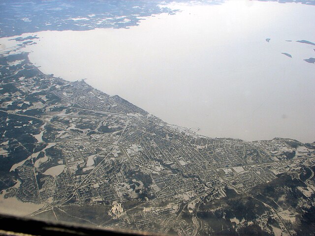
Aerial view of Lake Nipissing and North Bay
A beach along Lake Nipissing
Sunset at Lake Nipissing
The Ottawa River is a river in the Canadian provinces of Ontario and Quebec. It is named after the Algonquin word 'to trade', as it was the major trade route of Eastern Canada at the time. For most of its length, it defines the border between these two provinces. It is a major tributary of the St. Lawrence River and the longest river in Quebec.
The Ottawa River in autumn
In this false-colour satellite image, the Ottawa River flows southeast, joining the St. Lawrence River which flows northeast. Heavily forested areas appear differing shades of orange/red, while farmland is tan shades.
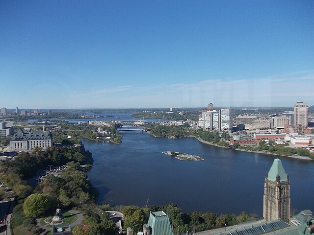
Ottawa River, looking upstream (view from the Peace Tower of Parliament Centre Block)
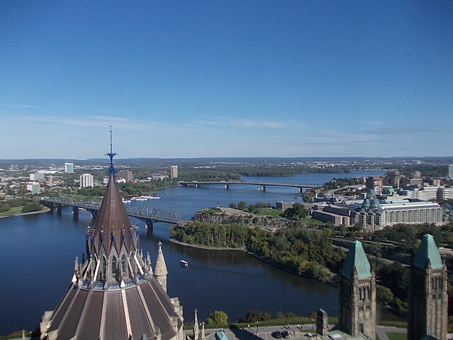
Ottawa River, looking downstream (view from the Peace Tower of Parliament Centre Block)


