The Landsat program is the longest-running enterprise for acquisition of satellite imagery of Earth. It is a joint NASA / USGS program. On 23 July 1972, the Earth Resources Technology Satellite was launched. This was eventually renamed to Landsat 1 in 1975. The most recent, Landsat 9, was launched on 27 September 2021.
Landsat 7, launched in 1999, is the 7th of 9 satellites in the Landsat program.
A false-color satellite image of Kolkata, India, from Landsat 7 in 2004, showing rivers, vegetated areas, and developed areas
The spectral band placement for each sensor of Landsat
One year after launch, Landsat 8 imagery had over one million file downloads by data users.
Satellite images are images of Earth collected by imaging satellites operated by governments and businesses around the world. Satellite imaging companies sell images by licensing them to governments and businesses such as Apple Maps and Google Maps.
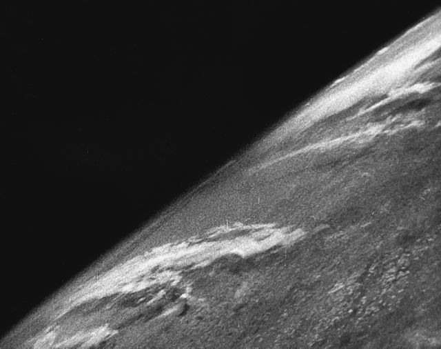
The first images from space were taken on the sub-orbital V-2 rocket flight launched by the U.S. on October 24, 1946.
Satellite image of Fortaleza.
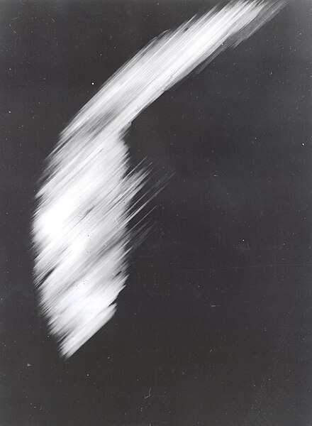
The first crude image taken by the satellite Explorer 6 shows a sunlit area of the Central Pacific Ocean and its cloud cover. The photo was taken when the satellite was about 17,000 mi (27,000 km) above the surface of the Earth on August 14, 1959. At the time, the satellite was crossing Mexico.
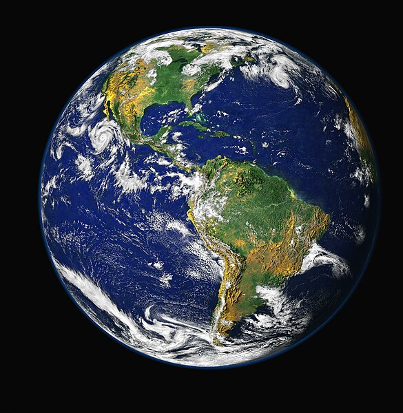
Satellite photography can be used to produce composite images of an entire hemisphere


