Satellite images are images of Earth collected by imaging satellites operated by governments and businesses around the world. Satellite imaging companies sell images by licensing them to governments and businesses such as Apple Maps and Google Maps.
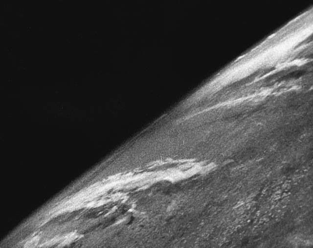
The first images from space were taken on the sub-orbital V-2 rocket flight launched by the U.S. on October 24, 1946.
Satellite image of Fortaleza.
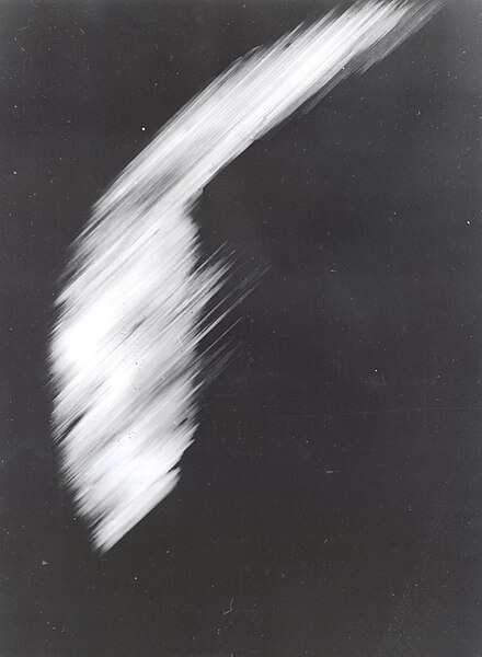
The first crude image taken by the satellite Explorer 6 shows a sunlit area of the Central Pacific Ocean and its cloud cover. The photo was taken when the satellite was about 17,000 mi (27,000 km) above the surface of the Earth on August 14, 1959. At the time, the satellite was crossing Mexico.
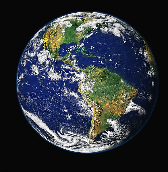
Satellite photography can be used to produce composite images of an entire hemisphere
An image is a visual representation. An image can be two-dimensional, such as a drawing, painting, or photograph, or three-dimensional, such as a carving or sculpture. Images may be displayed through other media, including a projection on a surface, activation of electronic signals, or digital displays; they can also be reproduced through mechanical means, such as photography, printmaking, or photocopying. Images can also be animated through digital or physical processes.
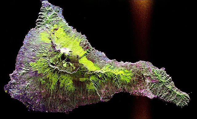
A synthetic-aperture radar image acquired by the SIR-C/X-SAR radar on board the Space Shuttle Endeavour shows the Teide volcano. The city of Santa Cruz de Tenerife is visible as the purple and white area on the lower right edge of the island. Lava flows at the summit crater appear in shades of green and brown, while vegetation zones appear as areas of purple, green, and yellow on the volcano's flanks.
2D image

