The Las Vegas Beltway is a 50-mile (80 km) beltway route circling three-quarters of the Las Vegas Valley in southern Nevada. The Las Vegas Beltway carries two numerical designations. 11.1 miles (17.9 km) of the highway, from its southern terminus at Interstate 11 (I-11) / I-515 / U.S. Route 93 (US 93) / US 95 in Henderson west and northwest to I-15, is signed as Interstate 215 (I-215) and maintained by the Nevada Department of Transportation. Clark County Route 215 (CC 215) composes the remaining approximately 38.9 miles (62.6 km) of this semi-circumferential highway, with the county's Department of Public Works responsible for all construction and maintenance. The beltway is a freeway up to Interstate Highway standards in its entirety.
Southern beginning of CC 215, as viewed from the I-15 southbound overpass in 2009
Northeastern beginning of CC 215 in 2015
View east at the east end of I-215 in Henderson in 2015
View east at the northeastern end of CC 215 in North Las Vegas in 2015
The Las Vegas Valley is a major metropolitan area in the southern part of the U.S. state of Nevada, and the second largest in the Southwestern United States. The state's largest urban agglomeration, the Las Vegas Metropolitan Statistical Area is coextensive since 2003 with Clark County, Nevada. The Valley is largely defined by the Las Vegas Valley landform, a 600 sq mi (1,600 km2) basin area surrounded by mountains to the north, south, east and west of the metropolitan area. The Valley is home to the three largest incorporated cities in Nevada: Las Vegas, Henderson and North Las Vegas. Eleven unincorporated towns governed by the Clark County government are part of the Las Vegas Township and constitute the largest community in the state of Nevada.
Image: View of Las Vegas' strip from the helicopter
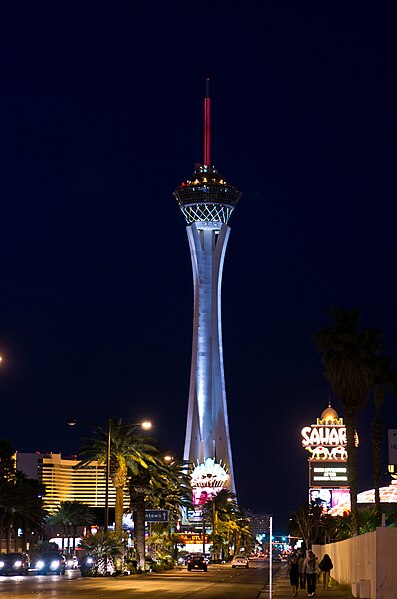
Image: Stratosphere Las Vegas 5
Image: Fremont Street 6
Image: Mandarin Oriental, Las Vegas (3)


