Leeds Inner Ring Road
Videos
Photos
The Leeds Inner Ring Road is part-motorway and part-A roads in Leeds, West Yorkshire, England, which forms a ring road around the city centre. It has six different road numbers that are all sections of longer roads. Clockwise, the roads are the A58(M), a motorway section of the A58 road; the A64(M), part of the A64 road; the A61 between York Road and the M621; the M621 between junctions 4 and 2; and the A643 between the M621 and A58. The motorway section is in total is 2.5 miles (4.0 km) long and is subject to a 40 miles per hour (64 km/h) speed limit throughout.

By the Leeds International Pool.

Passing under the Nuffield Hospital.

Passing under the Woodhouse Lane multi-story car park.

Signs on the John Smeaton Viaduct
Leeds
Videos
Photos
Leeds is a city in West Yorkshire, England. It is the largest settlement in Yorkshire and the administrative centre of the City of Leeds Metropolitan Borough, which is the second most populous district in the United Kingdom. It is built around the River Aire and is in the eastern foothills of the Pennines. The city was a small manorial borough in the 13th century and a market town in the 16th century. It expanded by becoming a major production centre, including of carbonated water, which was invented there in the 1760s, and trading centre for the 17th and 18th centuries.

Image: Leeds Town Hall (30th January 2019)

Image: County Arcade (2022)
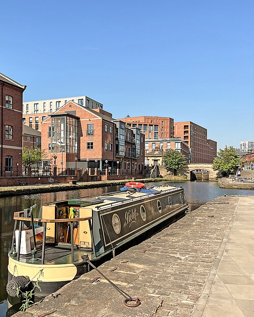
Image: Granary Wharf Flickr 16 June 2023 2

Image: Leeds Dock Flickr 4 August 2022