Liberty State Park (LSP) is a park in the U.S. state of New Jersey, located on Upper New York Bay in Jersey City opposite Liberty Island and Ellis Island. The park opened in 1976 to coincide with bicentennial celebrations and is operated and maintained by the New Jersey Division of Parks and Forestry. Liberty State Park covers 1,212 acres (490 ha).
Liberty State Park as seen at the mouth of the Hudson River in September 2012
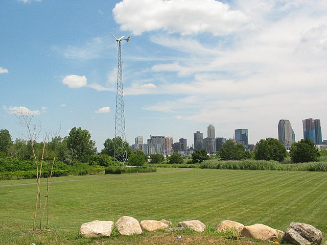
The high rise buildings of the Jersey City skyline as seen from Liberty State Park
Ellis Island and the railyards and piers of Central Railroad of New Jersey before development of the park and associated restoration projects
Liberation Memorial
New York Harbor is at the mouth of the Hudson River where it empties into New York Bay near the East River tidal estuary, and then into the Atlantic Ocean on the East Coast of the United States.
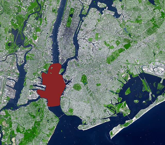
Upper New York Bay highlighted in red. It is connected to Lower New York Bay on the south by the Narrows. Ellis Island (north) and Liberty Island (south) are shown in the northwest corner of the bay.
New York Harbor and Upper New York Bay (right), Hudson River (lower left), and East River (upper left) in April 2013
Wallabout Bay and East River (foreground), Hudson River (at right), Upper New York Bay (left) and Newark Bay in the distance in April 1981
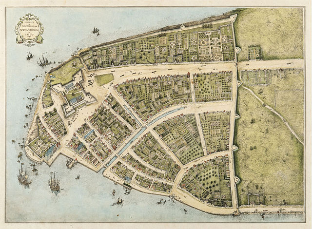
New Amsterdam, 1660: early East River docks along left bottom; protective wall against the British on right. West is at top. (Castello Plan redraft)