Lilongwe is the capital and largest city of Malawi. It has a population of 989,318 as of the 2018 Census, up from a population of 674,448 in 2008. In 2020 that figure was 1,122,000. The city is located in the central region of Malawi, in the district of the same name, near the borders with Mozambique and Zambia, and it is an important economic and transportation hub for central Malawi. It is named after the Lilongwe River.
Image: LILONGWE CITY AT NIGHT
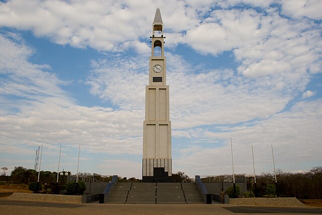
Image: K.a.r .clocktower in lilongwe
Image: National Bank @ citycenter panoramio
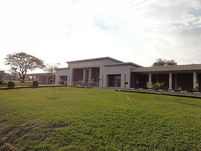
Image: Parliament building malawi
Malawi, officially the Republic of Malawi and formerly known as Nyasaland, is a landlocked country in Southeastern Africa. It is bordered by Zambia to the west, Tanzania to the north and northeast, and Mozambique to the east, south and southwest. Malawi spans over 118,484 km2 (45,747 sq mi) and has an estimated population of 19,431,566. Malawi's capital and largest city is Lilongwe. Its second-largest is Blantyre, its third-largest is Mzuzu and its fourth-largest is its former capital, Zomba. It was the first capital city of Malawi before being changed to Lilongwe.
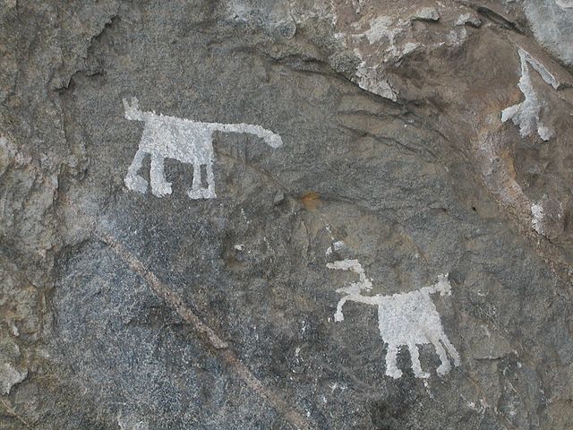
Chongoni Rock Art Area
1897 British Central Africa stamp issued by the United Kingdom
Malawi's first Prime Minister and later the first President, Hastings Banda (left), with Tanzania's President Julius Nyerere
National Assembly building in Lilongwe