The Little Cacapon River is a 25.1-mile-long (40.4 km) free-flowing tributary of the Potomac River in the center of Hampshire County, West Virginia. Via the Potomac River, its waters are part of the Chesapeake Bay watershed, leading to the Atlantic Ocean. The Little Cacapon enters the Potomac at an elevation of 499 feet (152 m) near the community of Little Cacapon. For the majority of its course the Little Cacapon is a shallow non-navigable stream. It has been historically referred to as both Little Cacapehon and Little Capecaphon. The name is pronounced kə-KAY-pən or KAY-pən.
The Little Cacapon viewed north from the Okonoko-Little Cacapon Road (County Route 2/7) bridge
The Little Cacapon viewed from Little Cacapon-Levels Road (CR 3/3) near Creekvale
Another view north of the Little Cacapon from the Okonoko-Little Cacapon Road (County Route 2/7) bridge
The Little Cacapon River viewed from Little Cacapon-Levels Road (County Route 3/3) near Creekvale
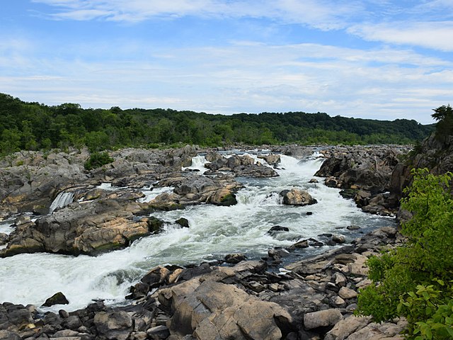
The Potomac River is a major river in the Mid-Atlantic region of the United States that flows from the Potomac Highlands in West Virginia to the Chesapeake Bay in Maryland. It is 405 miles (652 km) long, with a drainage area of 14,700 square miles (38,000 km2), and is the fourth-largest river along the East Coast of the United States and the 21st-largest in the United States. More than 5 million people live within its watershed.
Potomac River
The Potomac River in Washington, D.C., with Arlington Memorial Bridge in the foreground and Rosslyn, Arlington, Virginia in the background
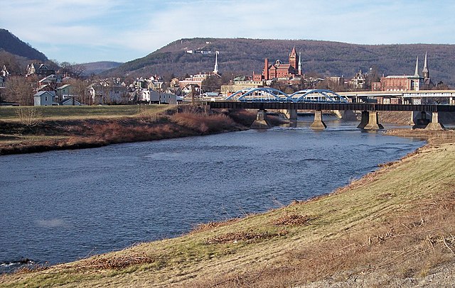
The North Branch between Cumberland, Maryland, and Ridgeley, West Virginia, in 2007
Canoers at Hanging Rocks on the South Branch in the 1890s