Llaneilian is a village and community in Anglesey, Wales. It is located in the north east of the island, 2.2 miles (3.5 km) east of Amlwch, 16.5 miles (26.6 km) north west of Menai Bridge and 12.5 miles (20.1 km) north of Llangefni. The community includes the villages and hamlets of Dulas, Llaneilian, Pengorffwysfa, Cerrig Man and Penysarn, Gadfa and Nebo, and at the 2001 census had a population of 1,192, decreasing slightly to 1,186 at the 2011 Census. The parish is crowned by its hill, Mynydd Eilian, a HuMP, popular with walkers and ramblers, and its beach, Traeth Eilian, which is popular with holidaymakers and for watersport activities. At the north easternmost point is Point Lynas,, while Ynys Dulas lies off the North East coast of the island, east of Dulas Bay.
Henblas, Llaneilian, looking north.
Point Lynas Lighthouse, Llaneilian
St Eilian's church
15th century rood screen and loft in St Eilian's church
Anglesey is an island off the north-west coast of Wales. It forms the bulk of the county known as the Isle of Anglesey, which also includes Holy Island and some islets and skerries. The county borders Gwynedd across the Menai Strait to the southeast, and is otherwise surrounded by the Irish Sea. Holyhead is the largest town, and the administrative centre is Llangefni. The county is part of the preserved county of Gwynedd.
Image: View from the Anglesey Coastal Path (geograph 6222502)
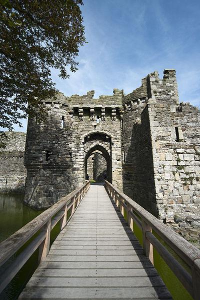
Image: Beaumaris Castle (8074242766)
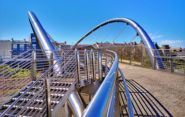
Image: Celtic gateway bridge. Flickr ohefin
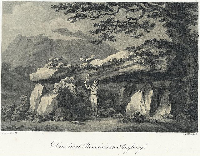
Dolmen on Anglesey (Samuel Alken, 1794).


