London Outer Orbital Path
The London Outer Orbital Path — more usually the "London LOOP" — is a 150-mile (242 km) signed walk along public footpaths, and through parks, woods and fields around the edge of Outer London, England, described as "the M25 for walkers". The walk begins at Erith on the south bank of the River Thames and passes clockwise through Crayford, Petts Wood, Coulsdon, Banstead, Ewell, Kingston upon Thames, Uxbridge, Elstree, Cockfosters, Chingford, Chigwell, Grange Hill and Upminster Bridge before ending at Purfleet, almost directly across the Thames from its starting point. Between these settlements the route passes through green buffers and some of the highest points in Greater London.
The London LOOP's logo, a flying kestrel, can be seen on the signs marking the route
Happy Valley
Stag in Bushy Park
Wellingtonia Avenue
Erith is an area in south-east London, England, 13.3 miles (21.4 km) east of Charing Cross. Before the creation of Greater London in 1965, it was in the historical county of Kent. Since 1965 it has formed part of the London Borough of Bexley. It lies north-east of Bexleyheath and north-west of Dartford, on the south bank of the River Thames.
William Cory Promenade along the River Thames frontage and Riverside Gardens
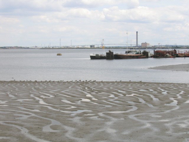
Mudflats on the Thames, with the Queen Elizabeth II Bridge in the far background
The medieval Church of John the Baptist in Erith
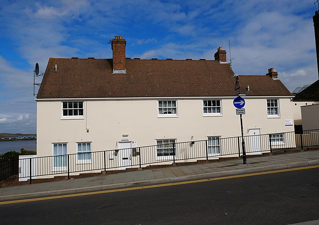
28 and 30 Erith High Street, a building with eighteenth-century origins in Erith.